Collecting site data point by point.
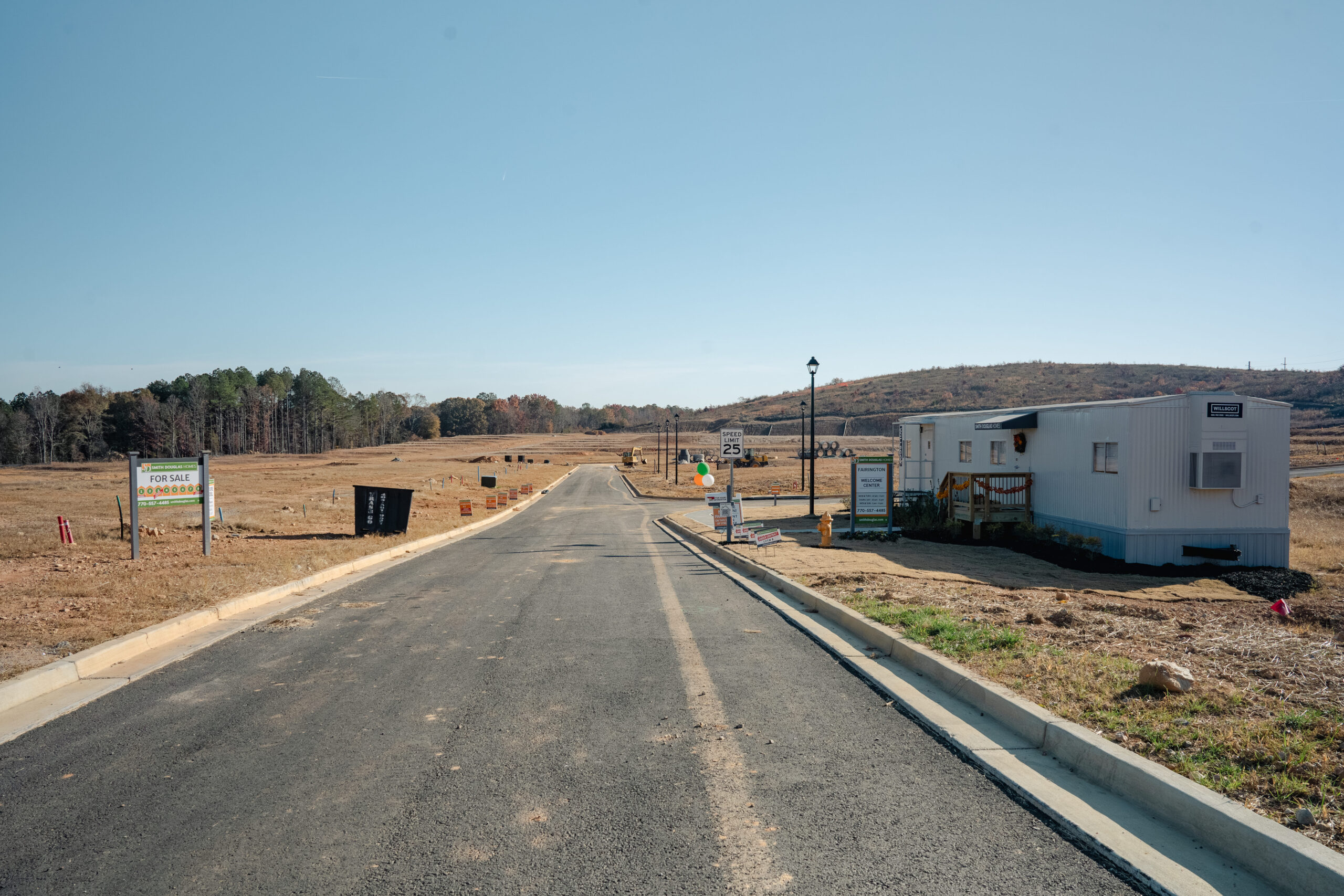
On road and civil construction projects, building a useful surface model meant collecting a long list of individual measurements. Jason describes surveying curbs at intervals of around 10 feet, with much tighter spacing around curves and corners. Water valves, manholes, and the road centerline also needed to be recorded before he could build the model.
That work competed with the rest of his responsibilities. As a project superintendent, Jason manages personnel, safety, and the day-to-day operation of the site. Time spent collecting survey points was time unavailable for other tasks.
For Haydon’s earthmoving operations in Texas, the previous approach involved drone surveys or manual topographic surveying with a base and rover. The team needed a faster way to understand current ground conditions, track progress, and see how much cut and fill remained.