Plenty of data, but not often enough
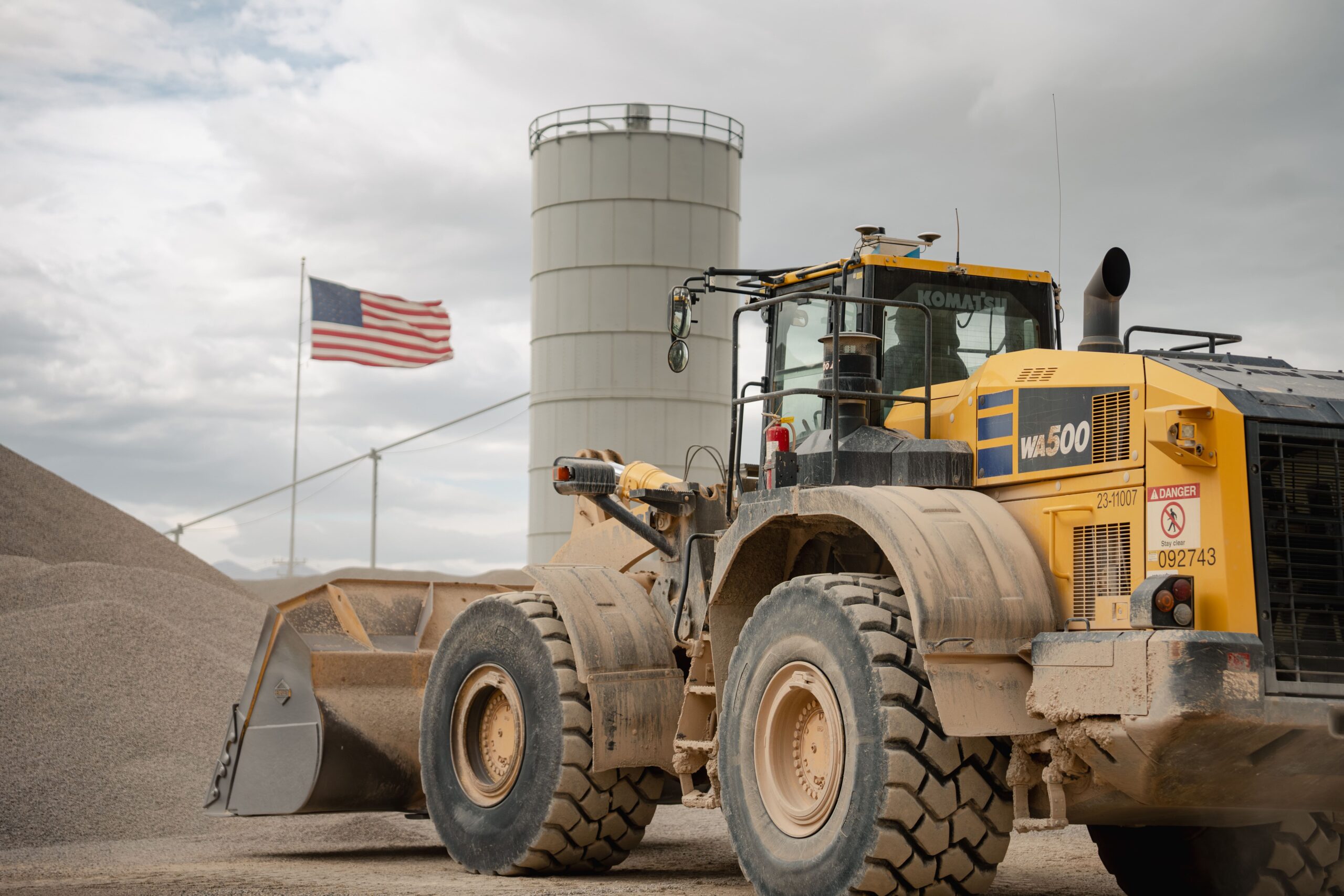
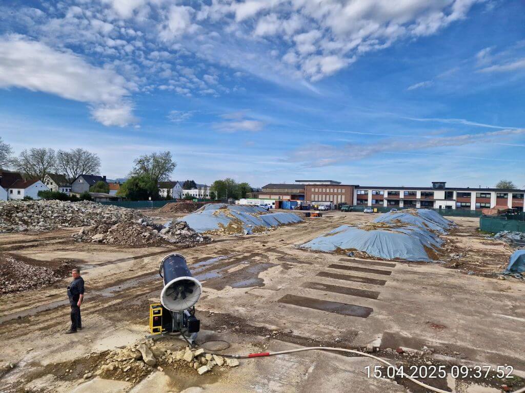
BHI runs aggregate pits, asphalt plants, large-scale earthworks, utility installation, and solar projects all across Utah. The team flies drones at some sites multiple times a week and uses GNSS rovers for spot checks. But drone data is periodic. It gives you a snapshot in time, not a stream and until all that data is processed, conditions on site have already changed – piles shifted, material got hauled and ground levels moved.
At remotely located sites, the problem is even worse. Getting a surveyor or drone pilot out there means two or three days of travel for a single dataset. And even on well-staffed sites, the data still has to pass through one person with a dedicated software before anyone else can act on it.
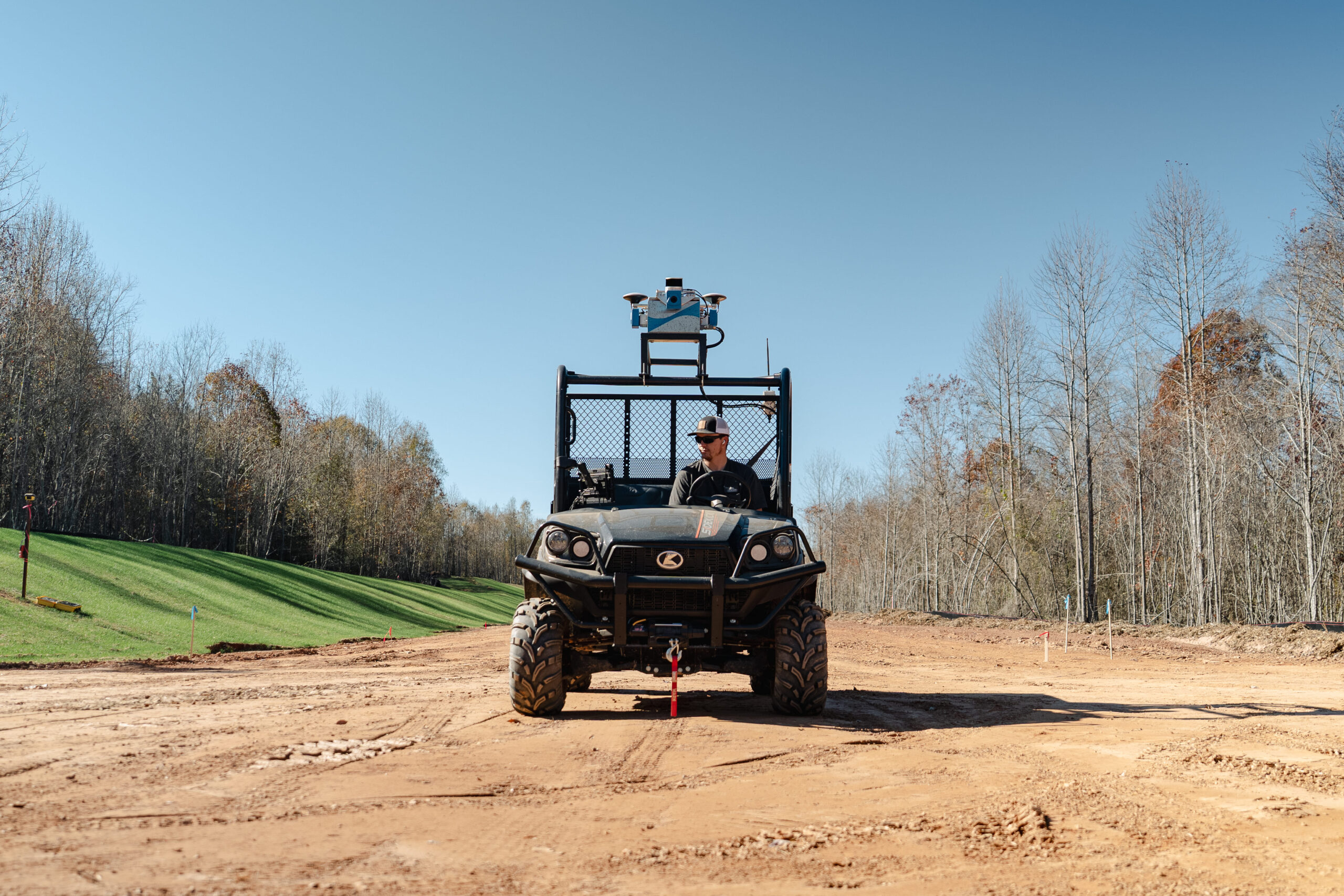
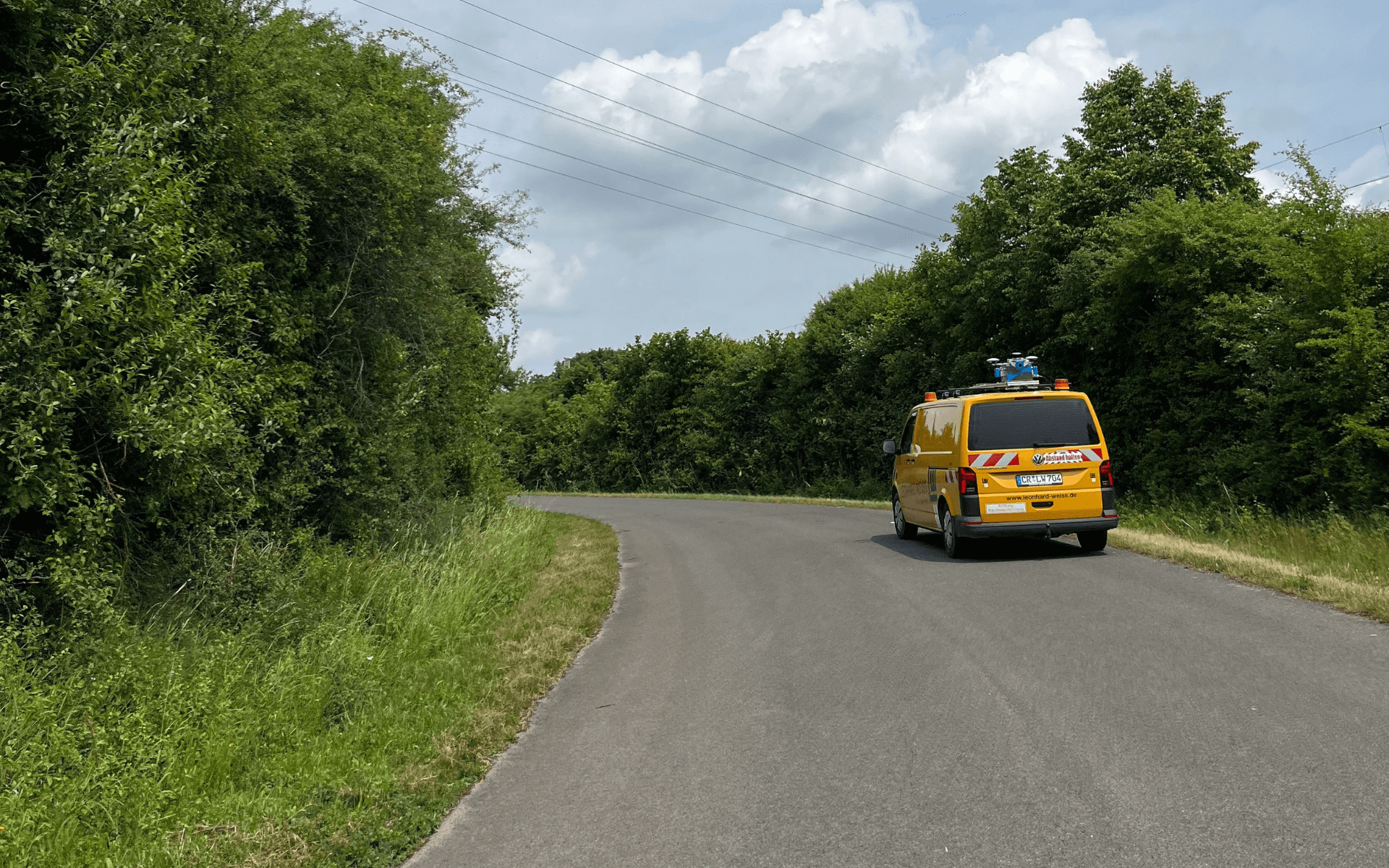
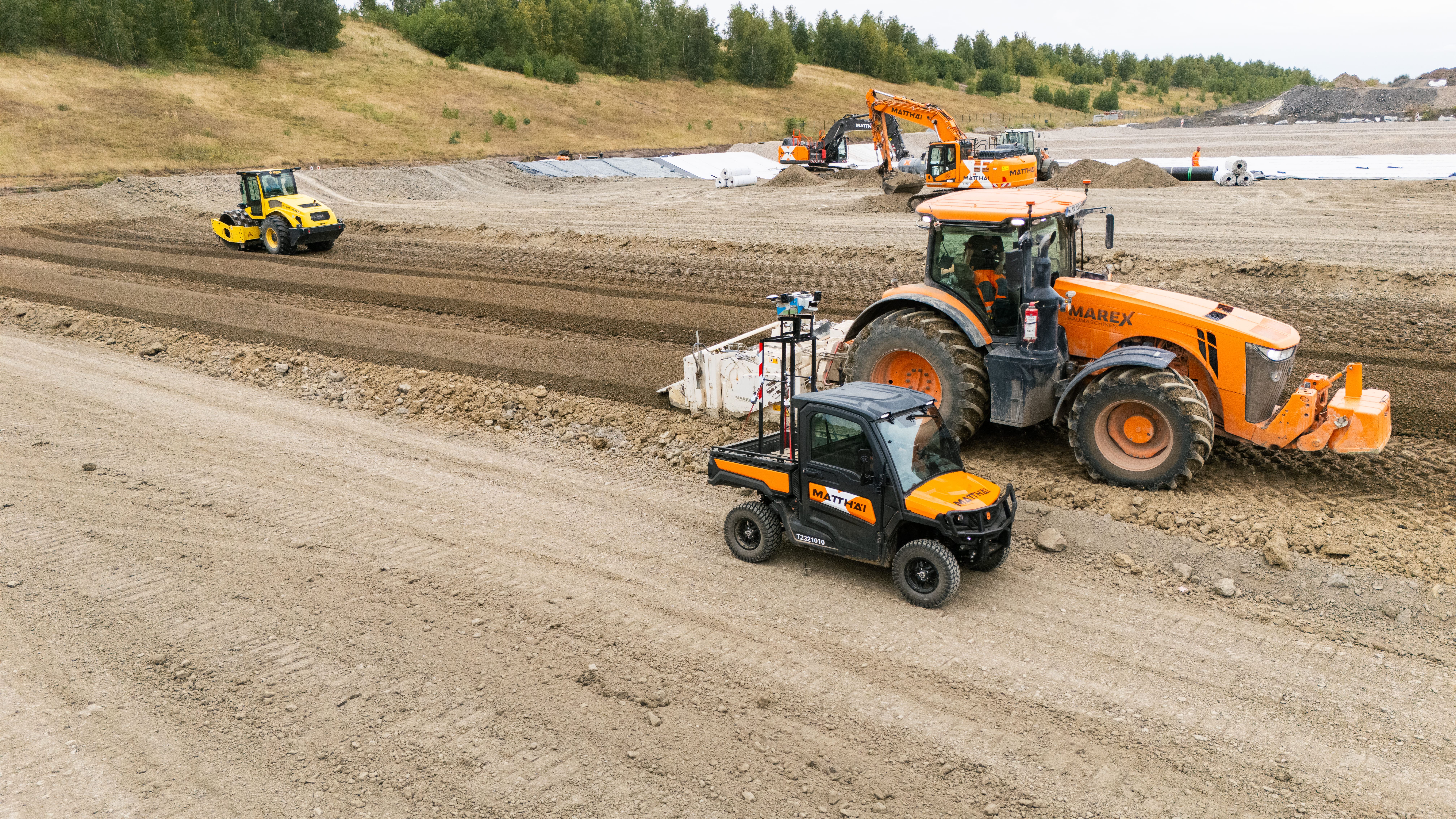
The team wanted something that could run on its own, capture data as part of daily operations, and make that data available to everyone who needs it at the same time.