Loading page…

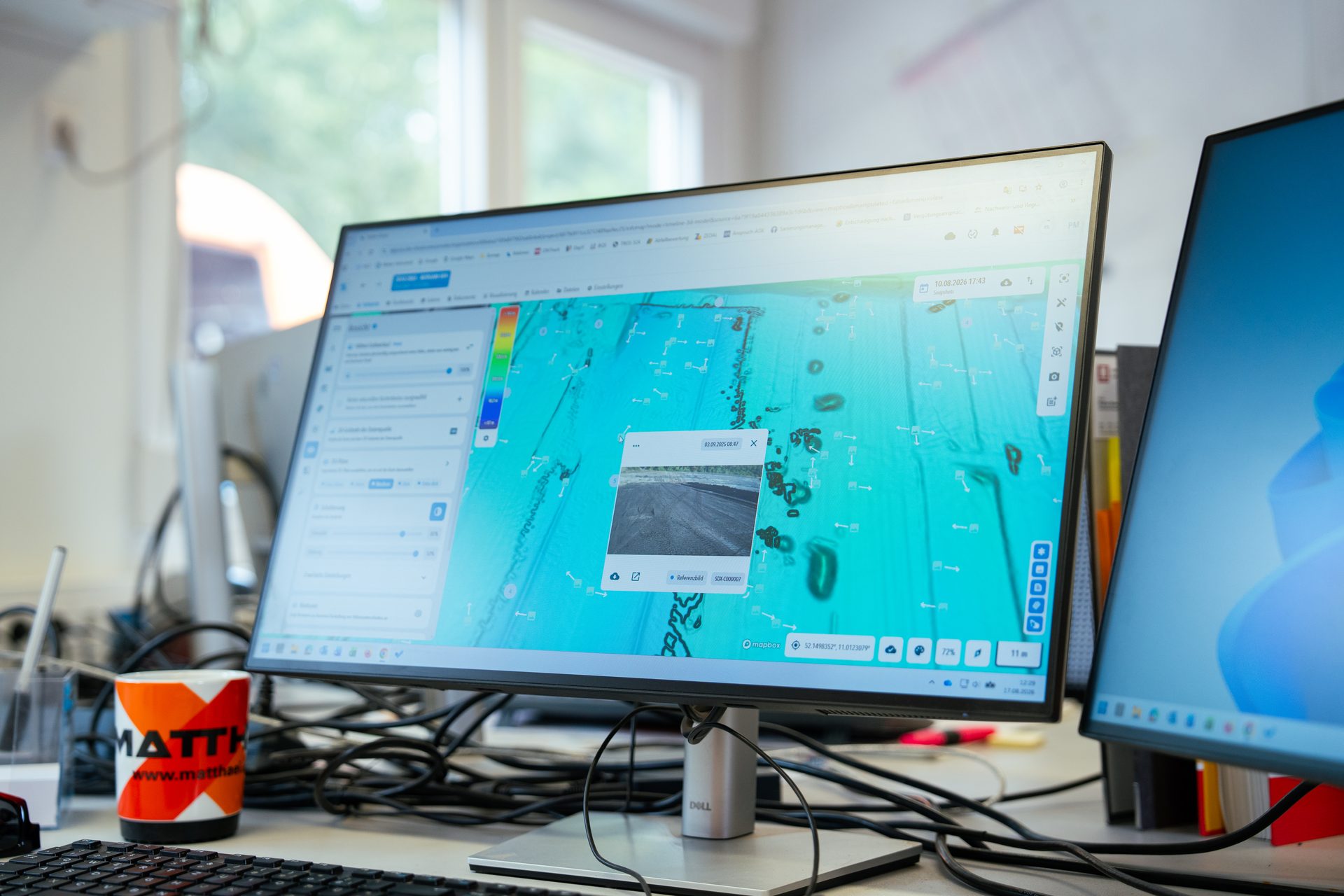
SDX-Cloud - Your Single Source of Truth for Site Data
Bring drone surveys, machine scans, point clouds, and design models together in SDX-Cloud. Measure volumes, compare terrain against design, and track changes over time. Share the results through dashboards and reports, all in one browser-based platform.
Data capture is only the start. Give every scan a purpose.
A survey captures site conditions at one moment. Your team needs to know what changed, how much material moved, and where work differs from design.
SDX-Cloud connects 3D analysis, quantity tracking, and documentation in one place. Go from checking a surface to calculating volumes and sharing a report, without moving files between separate tools at every step.
All your site data in one place.
Bring captured site data and project designs together in SDX-Cloud. View surveys alongside plans and reference surfaces, with earlier captures available when you need to look back.
Drone surveys: Upload images for photogrammetry processing or bring in processed survey data.
Sodex scans: Receive captures automatically from connected machine-mounted and handheld devices.
External point clouds: Add processed scans from other surveying systems.
Design models and plans: Bring in reference surfaces, 2D DXF plans, 3D plans, and orthophotos.
Combine scans into a shared site model or review individual datasets to see what each capture contributes.
Benefits
Spend less time preparing results
Bring processing, measurements, comparisons, and reporting into one workflow. Reduce file transfers and repeated preparation between separate tools.
Make decisions from measured conditions
See where terrain differs from design, how much material has moved, and what remains. Use measurements and trends to plan work and identify issues early.
Give every team a clear answer
Share quantities, visual context, and progress through dashboards and reports. Keep field teams, managers, and clients informed without asking everyone to navigate a 3D model.
Bring your site into view.
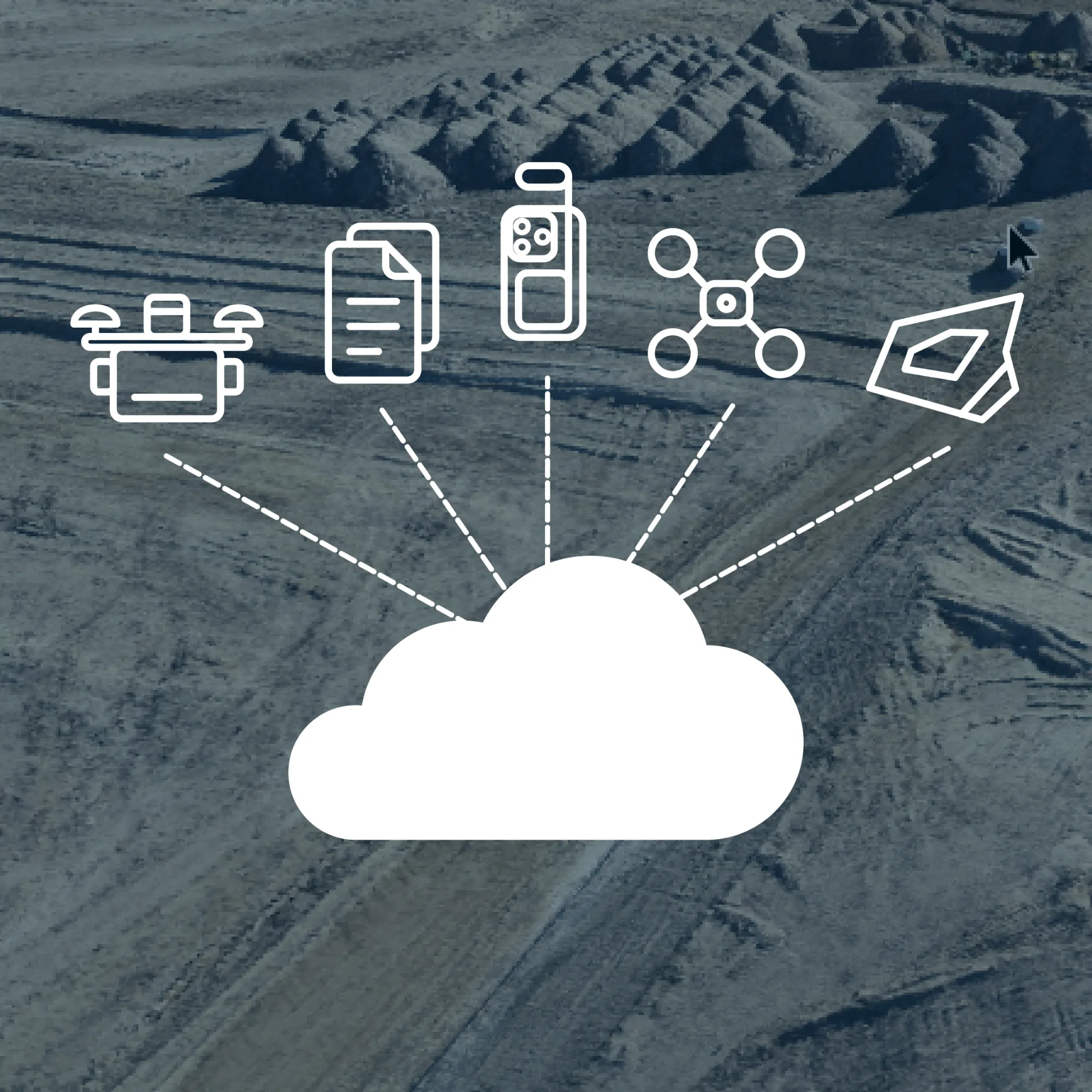
Bring in all your site data
Combine Sodex scans, drone surveys, external point clouds, and design models in one project. View captured data alongside plans without switching between tools.
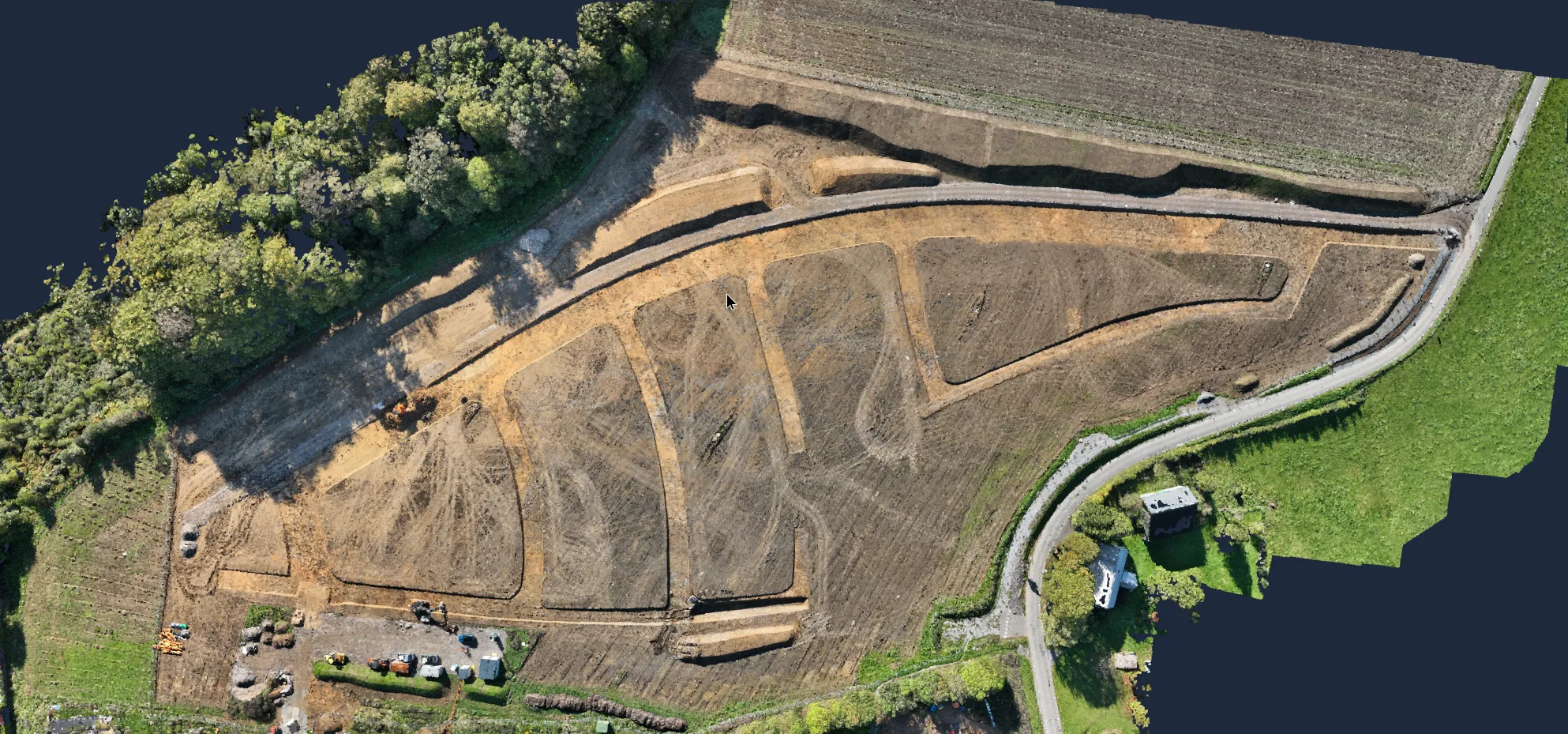
Process your drone surveys
Turn drone images into orthophotos, point clouds, and 3D models in SDX-Cloud. Use RTK or PPK workflows and review the processing quality report before analysis.
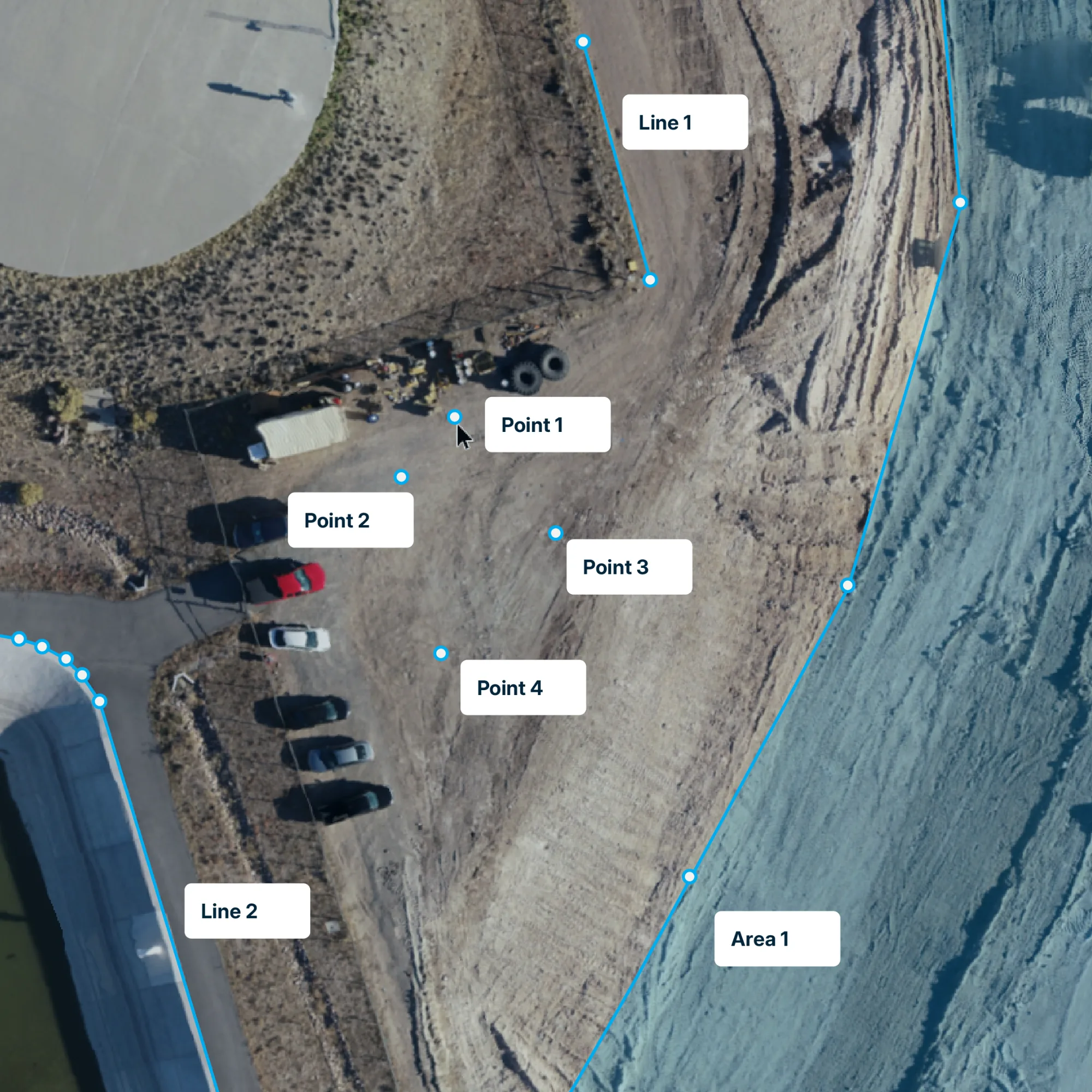
Explore and measure reality
Explore your site in 3D and measure coordinates, distances, areas, and volumes. Organize measurements in layers and add custom fields for site documentation.
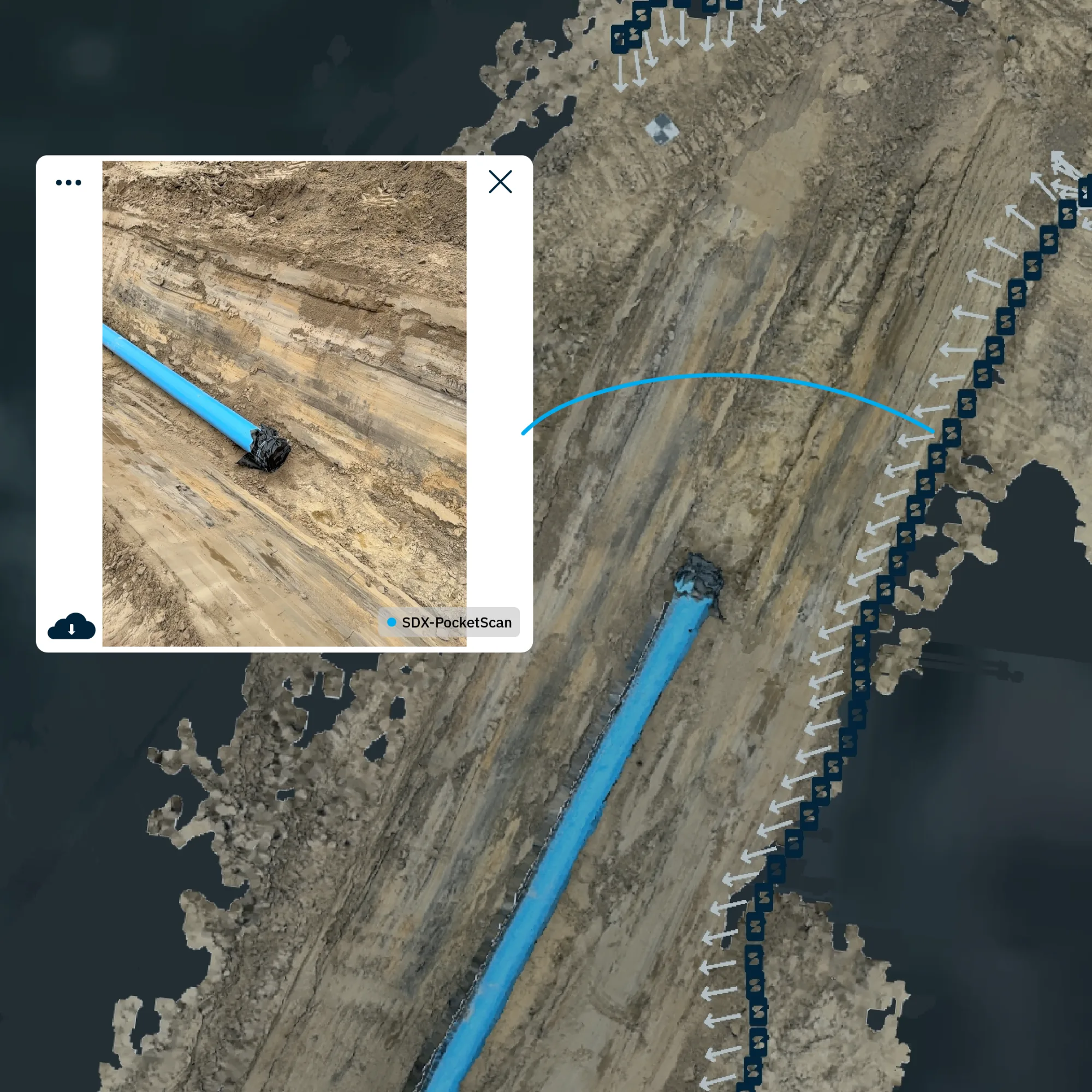
Put photos in context
Find site photos by date and map location, or select a point to find images looking toward it. See the visual details behind your 3D measurements.
See what changed. Check against design.
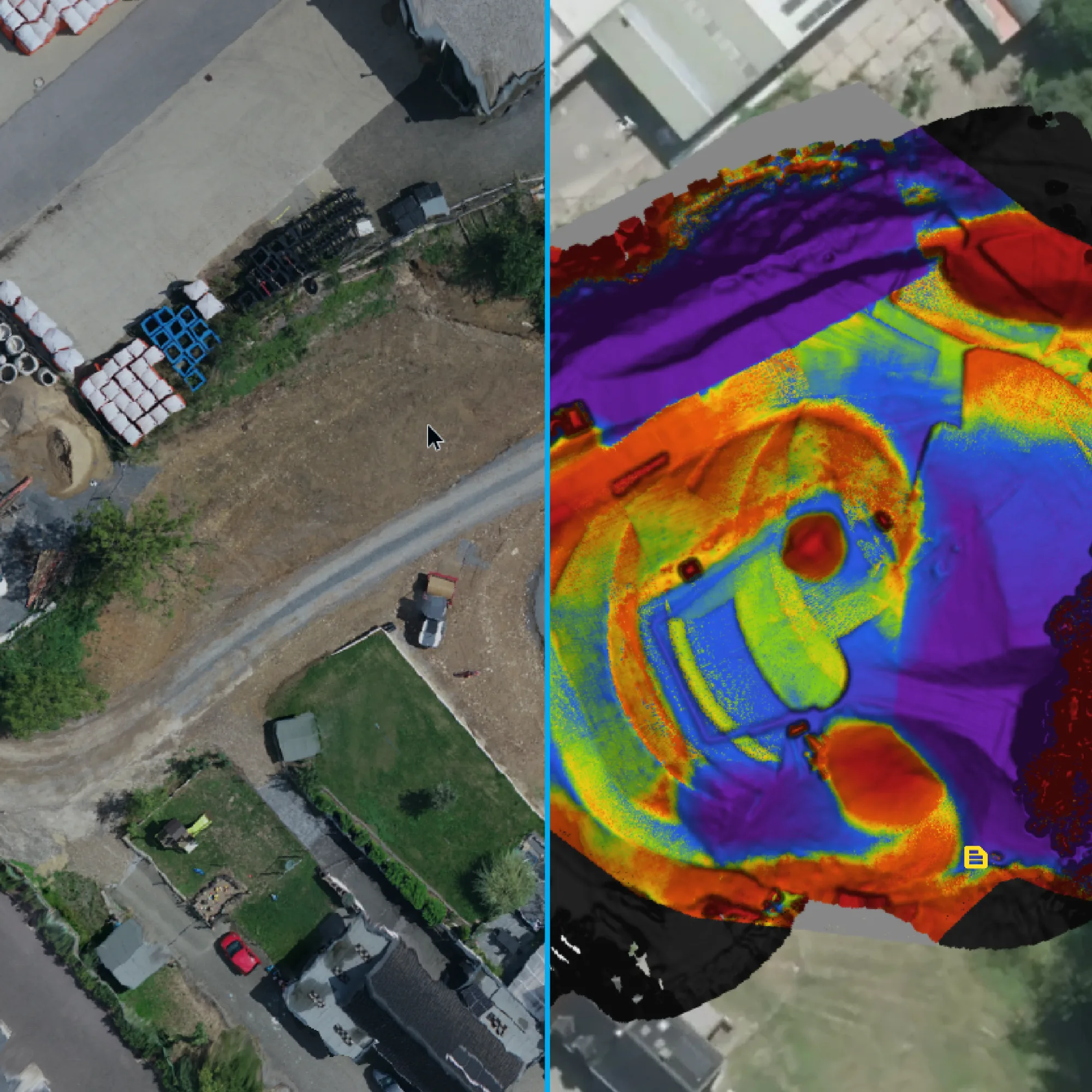
Compare reality with design
See where surveyed data is above or below design with color-coded comparisons. Check height and volume differences at specific points to identify areas that need attention.
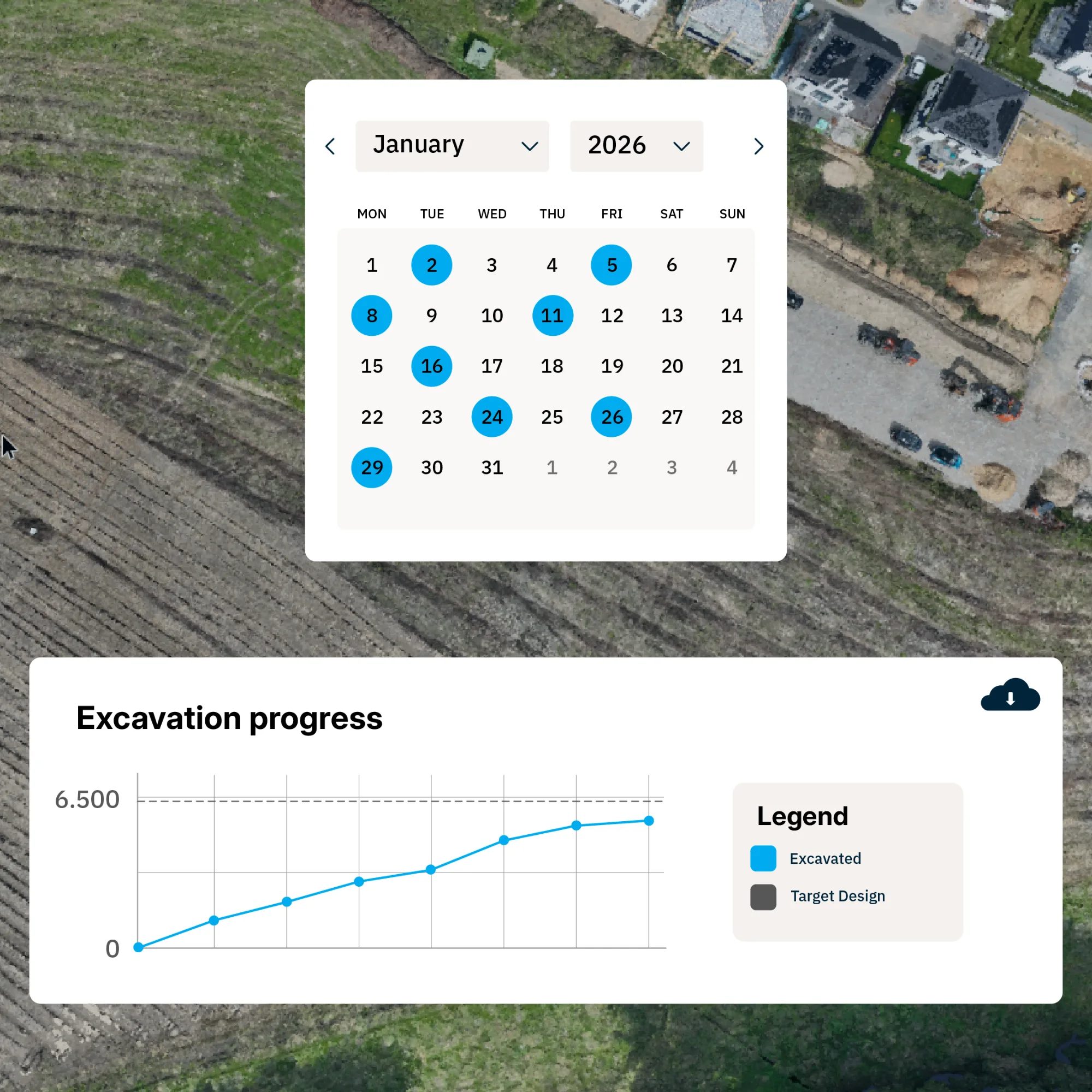
Track changes over time
Return to earlier surveys to review site conditions and compare construction stages. Keep a dated record of how your site has developed.
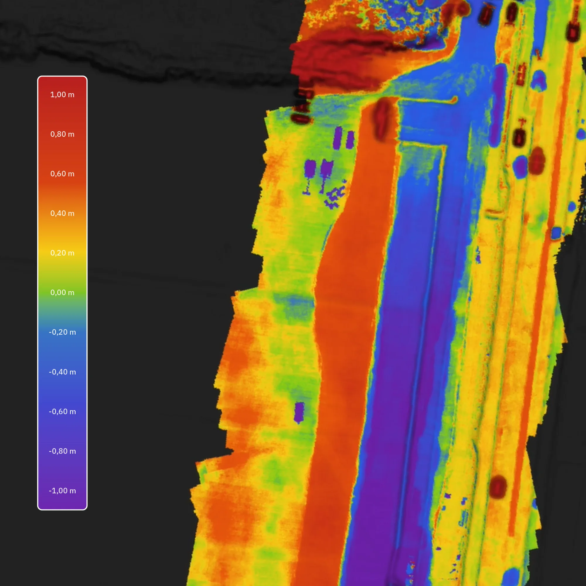
Calculate cut and fill
Calculate cut and fill against design or between surveyed surfaces. Measure the whole site or selected areas to quantify material moved or work remaining.
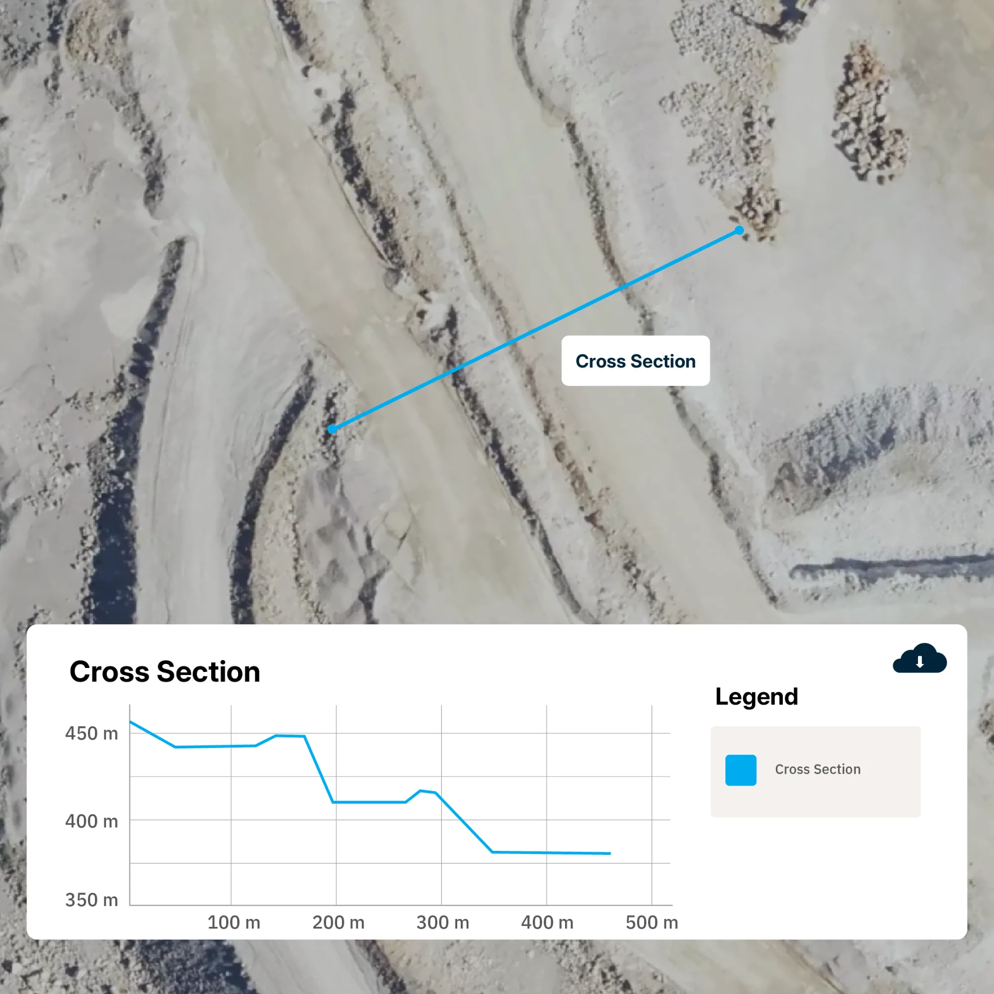
Inspect detailed cross-sections
Draw a cross-section and overlay survey dates and design models in one profile. Check local differences and export profile geometry for further analysis in other tools.
Track quantities and deliver results.
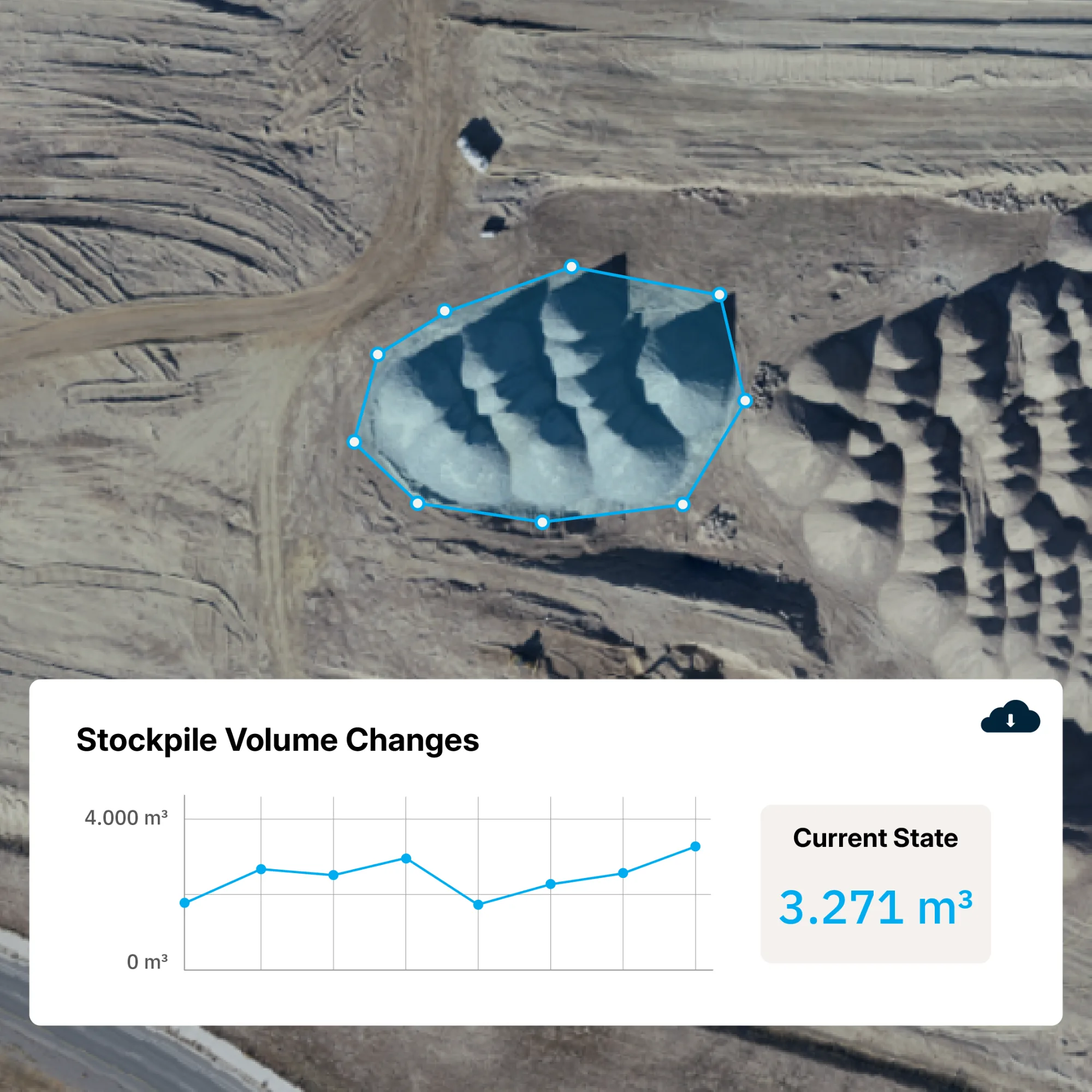
Automate inventory tracking
Define stockpile boundaries and reference surfaces once, then volumes are automatically calculated as new models arrive. Track inventory history and tonnage using assigned material densities.
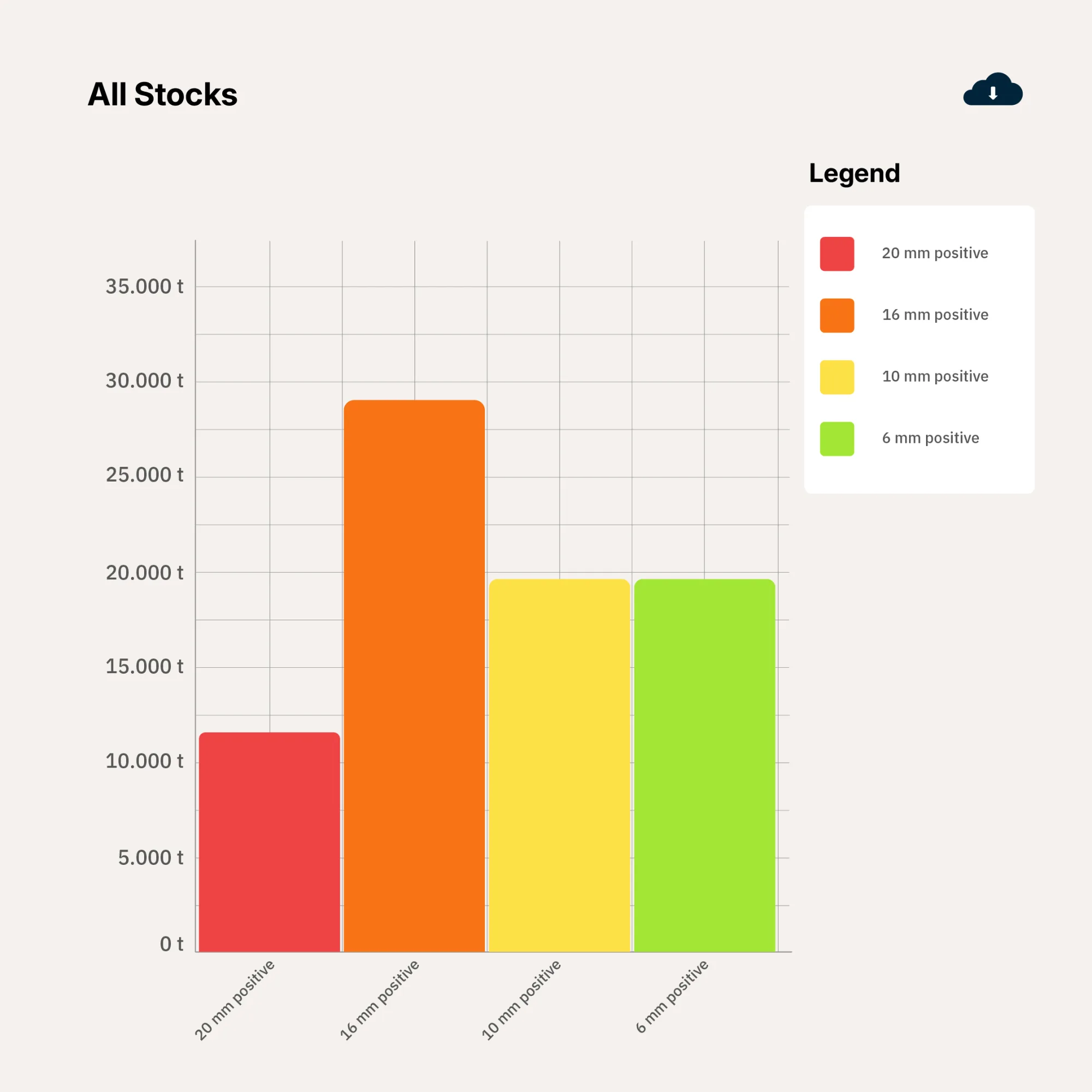
Share the numbers that matter
Build dashboards for stockpile quantities, cut and fill, and progress over time. Share key results with teams who don’t need to navigate a 3D model.
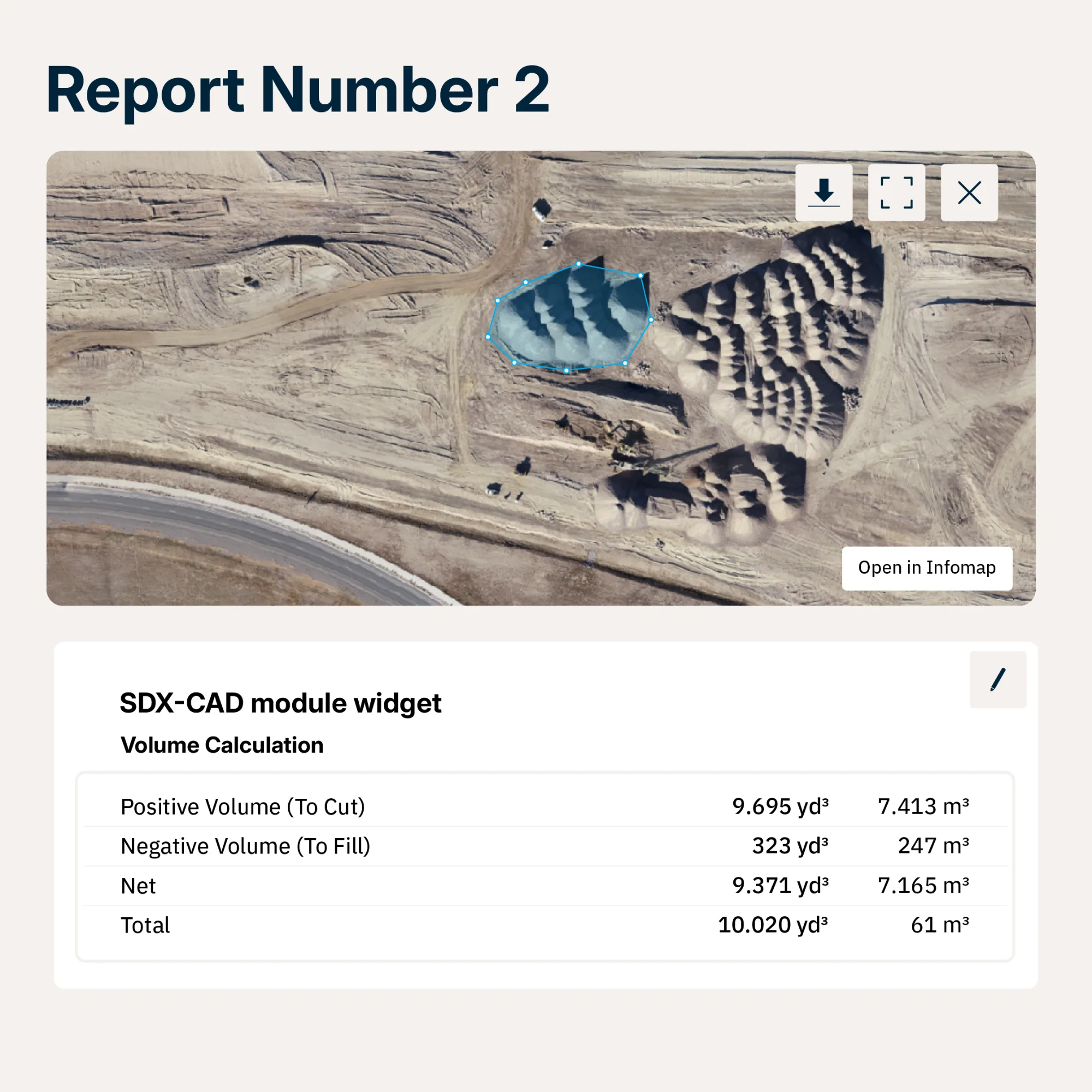
Create reports with context
Combine annotated site views and measurements in branded report templates. Export PDFs or share read-only document links with password protection, expiry dates, and revocation controls.
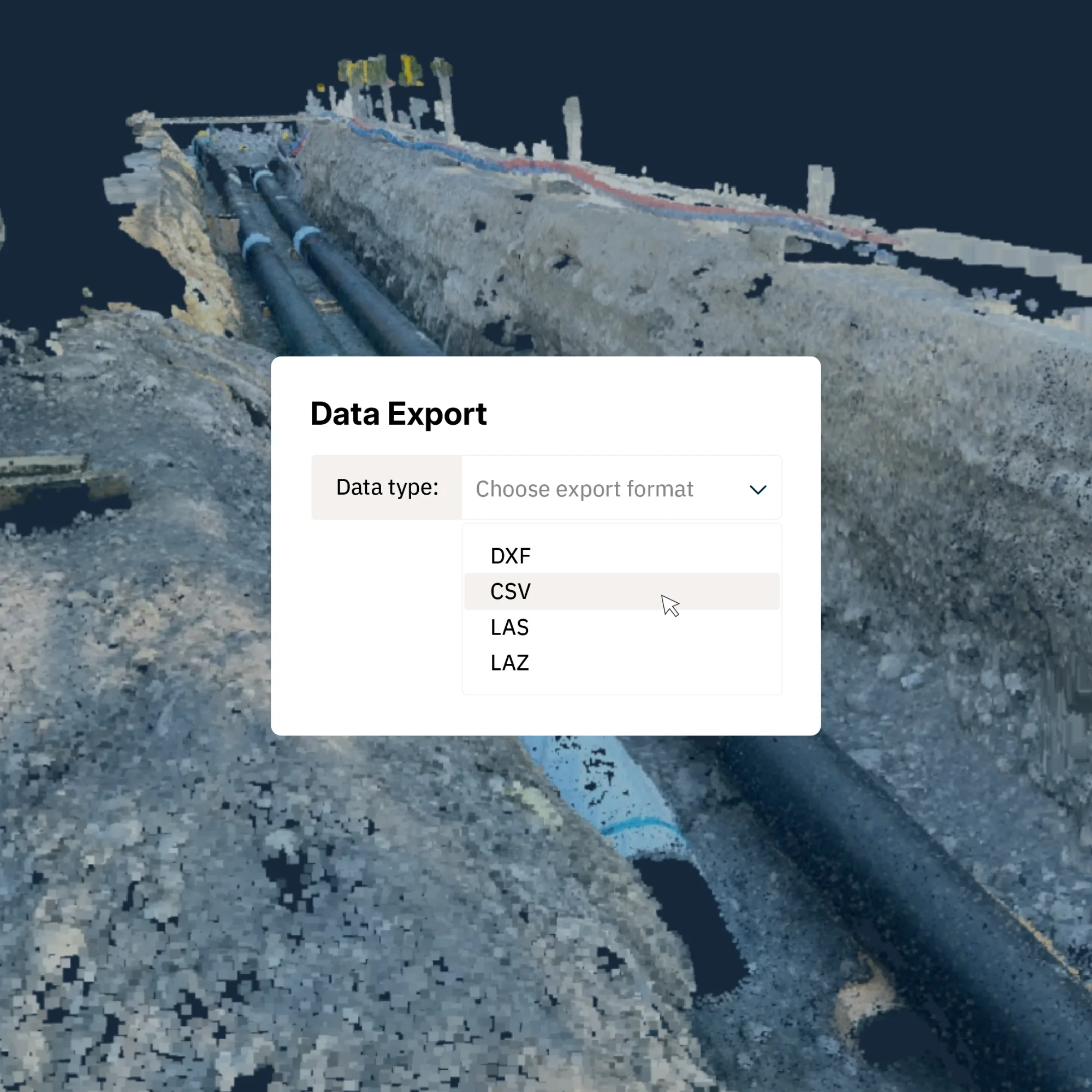
Keep your workflow connected
Export point clouds, surfaces, contours, and measurements for CAD and survey tools. Choose the area, format, and resolution needed for the next step.
SDX-Cloud Unlocked
Join our weekly 30 minute deep dive into SDX-Cloud with new features, workflows and use cases.
“Sodex Innovations' software has transformed the way we work. Our teams have found it intuitive and easy to use. It has significantly reduced our admin time while providing instant access to live data, giving us real-time visibility across multiple sites. It ticks all the boxes for us!”
 Kevin CageHead of aggregates operations, CEMEX UK
.png)

Explore our global network of channel partners.
Local partners in the United States, Europe, and Australia demo SDX-Systems on your site and support you before, during and after the purchase.
FAQs
SDX-Cloud is Sodex Innovations’ browser-based platform for organizing, processing, analyzing, and sharing site data. It brings captured terrain, survey files, and design information into one project environment so teams can work with measurements and documentation rather than disconnected datasets.
News & Updates
Sign up for updates in construction tech, products, and industry insights.