Loading page…

Civil Construction
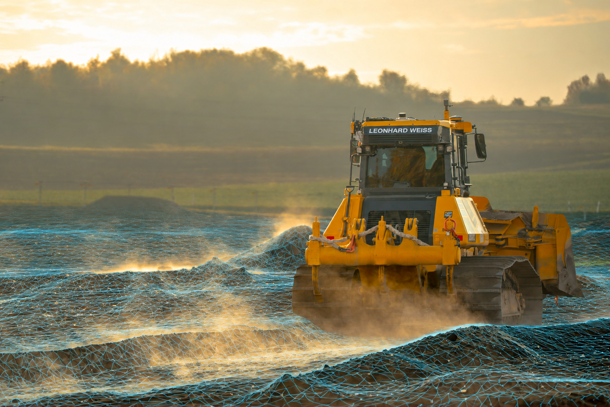
Earthworks and infrastructure projects keep moving, but teams still need to check grades, quantities, and progress. Sodex captures site conditions while machines work and brings the data into SDX-Cloud, giving field and office teams a shared, up-to-date view of the site.
setup time for the SDX-PocketScan on site
interval for new terrain data while machines work
faster access to data on average
Heavy terrain, high impact.
Is the surface at grade? How much material has moved? What has changed since the last survey, and what does the next crew need to know? Across earthworks, road construction, and utility projects, SDX-Cloud brings site data, measurements, and plans together to help your team find the answers.
The site changes every shift. Your site data should keep up.
Soil is moved, layers are placed, and trenches are backfilled. When site data falls behind, teams make decisions based on conditions that have already changed.
Catch deviations early
Compare captured surfaces against design to see where work is above or below grade. Identify differences before the next layer is placed or the next crew moves in.
Document before it's covered
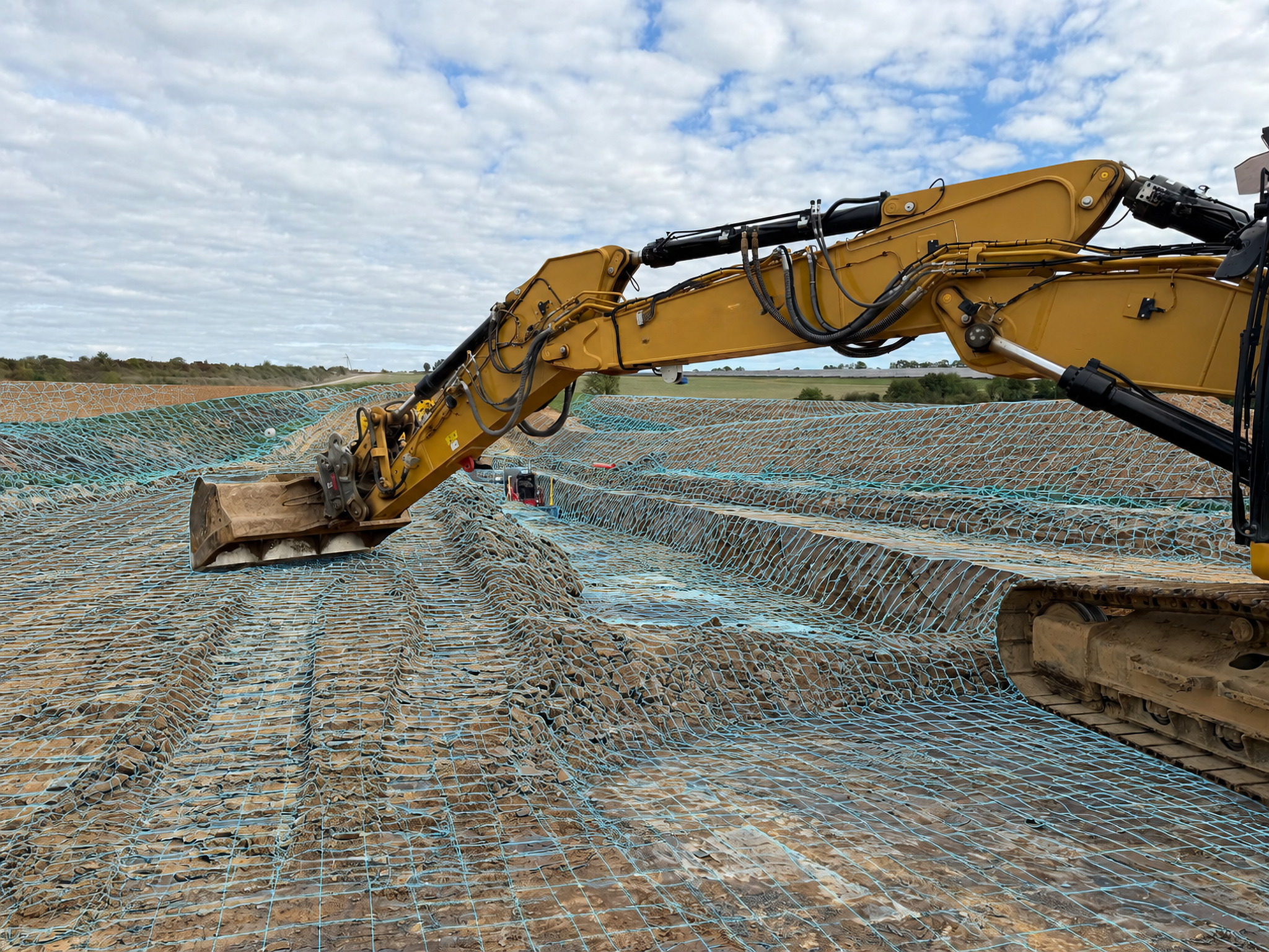
Capture road layers, exposed pipes, and trench conditions while they’re still visible. Keep a dated 3D record to support as-built documentation and handover.
Capture while machines work
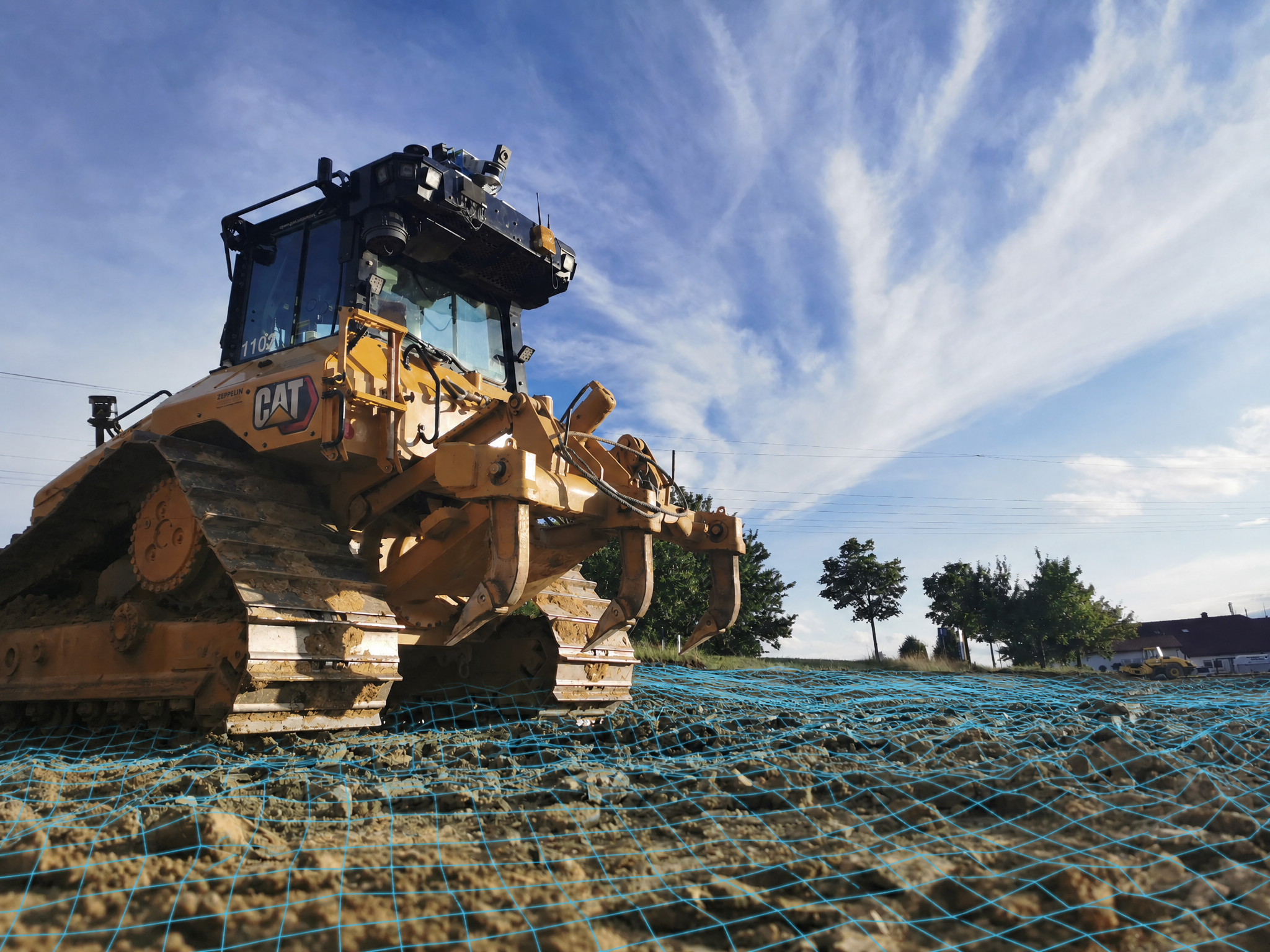
Use equipped dozers, excavators, and site vehicles to capture data during normal operations. Keep site information current between scheduled surveys.
Connect field and office
Give site crews, project managers, and surveyors access to the same data in SDX-Cloud. Review measurements, plans, and progress together, from first cut to handover.
Reduce surveying on foot
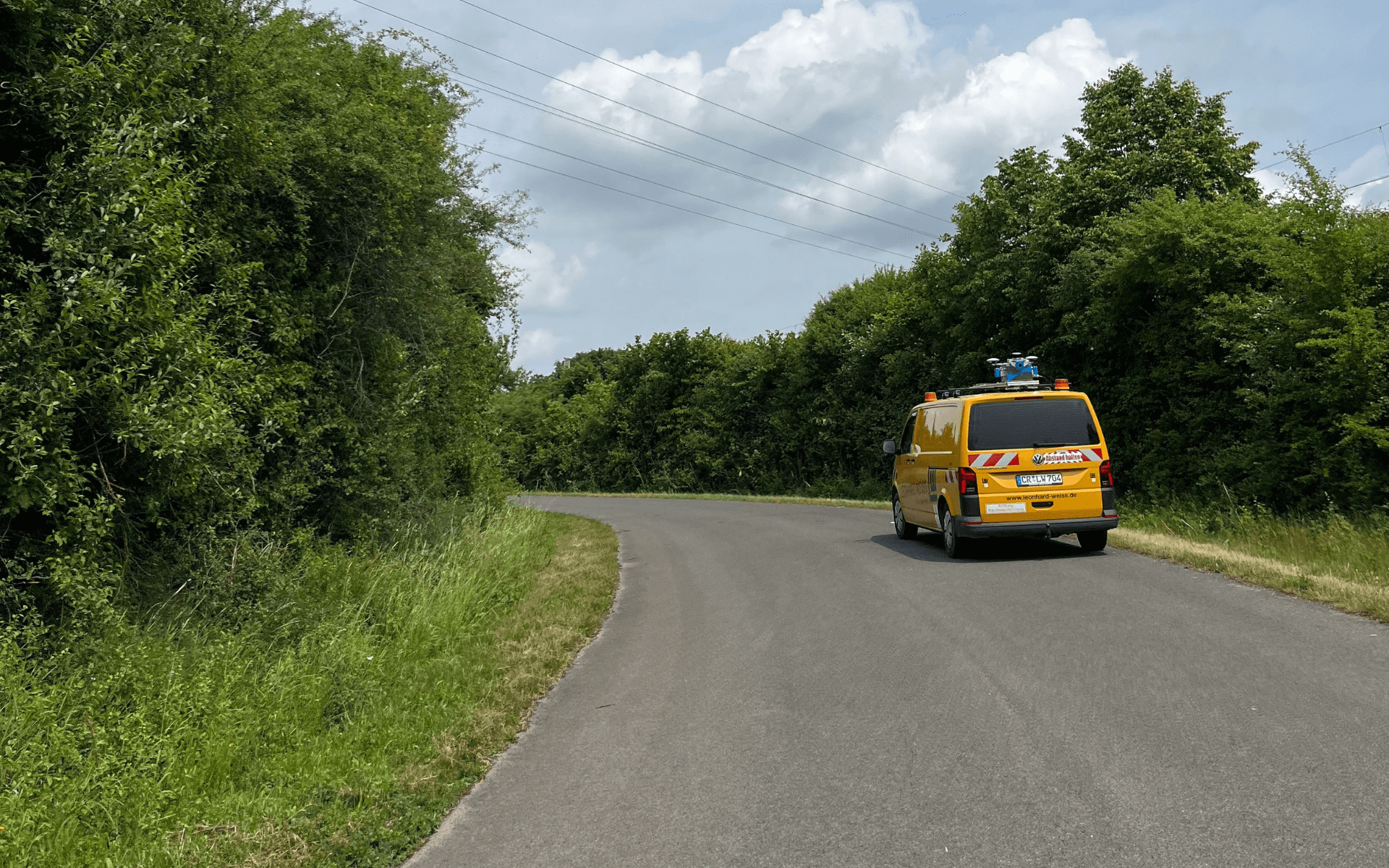
Capture terrain from equipped machines or suitable site vehicles to reduce separate walkover surveys. Take measurements from the captured data without returning to site for every check.
One capture, many uses
Use the same 3D data for earthwork quantities, progress tracking, cross-sections, and site documentation. Get more value from each capture across planning, execution, and handover.
Keep site information moving with the work.
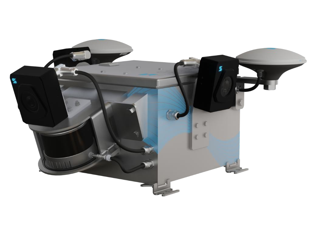
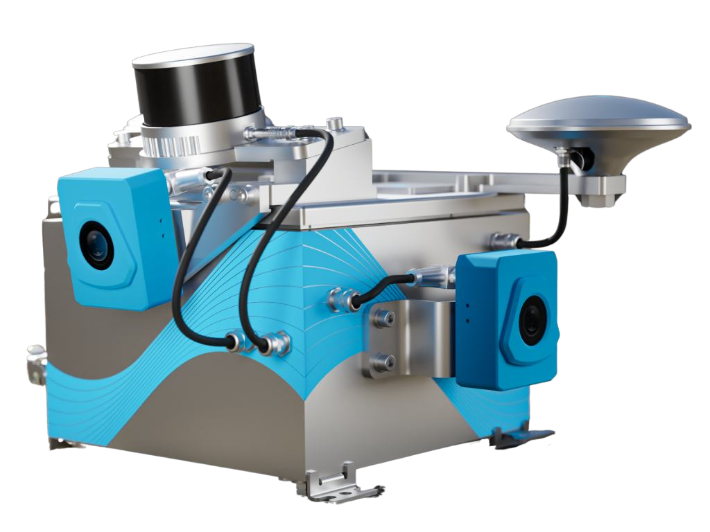
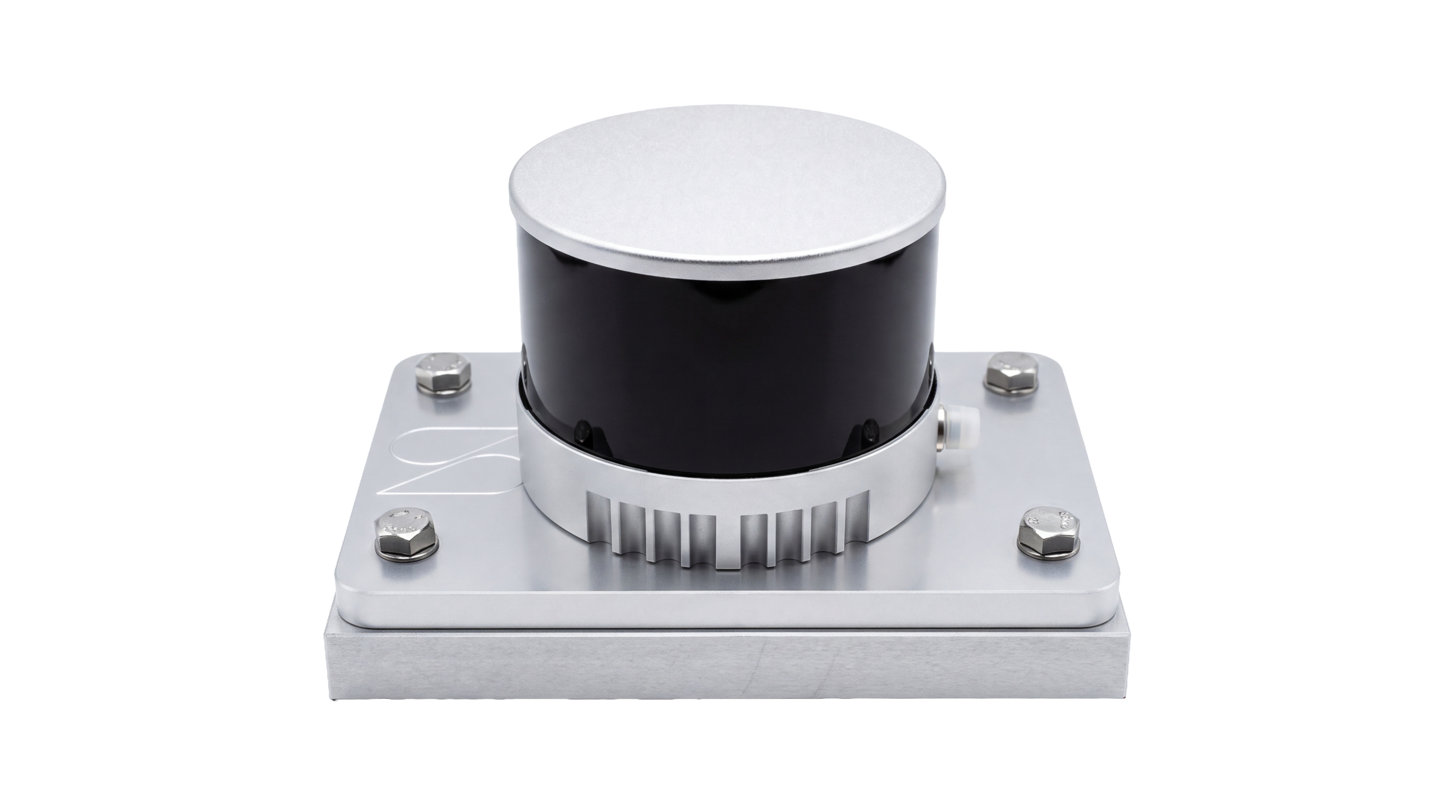
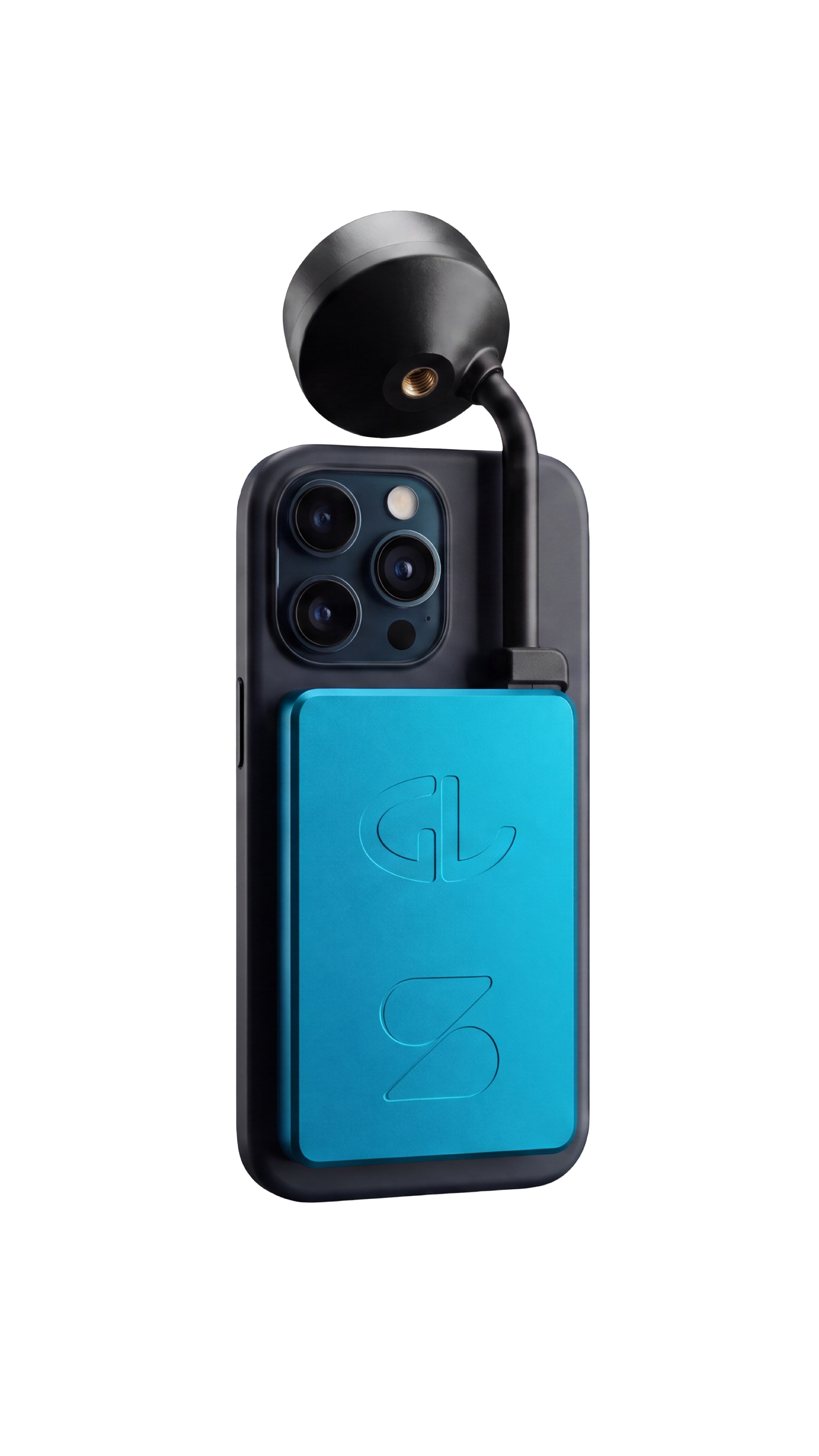
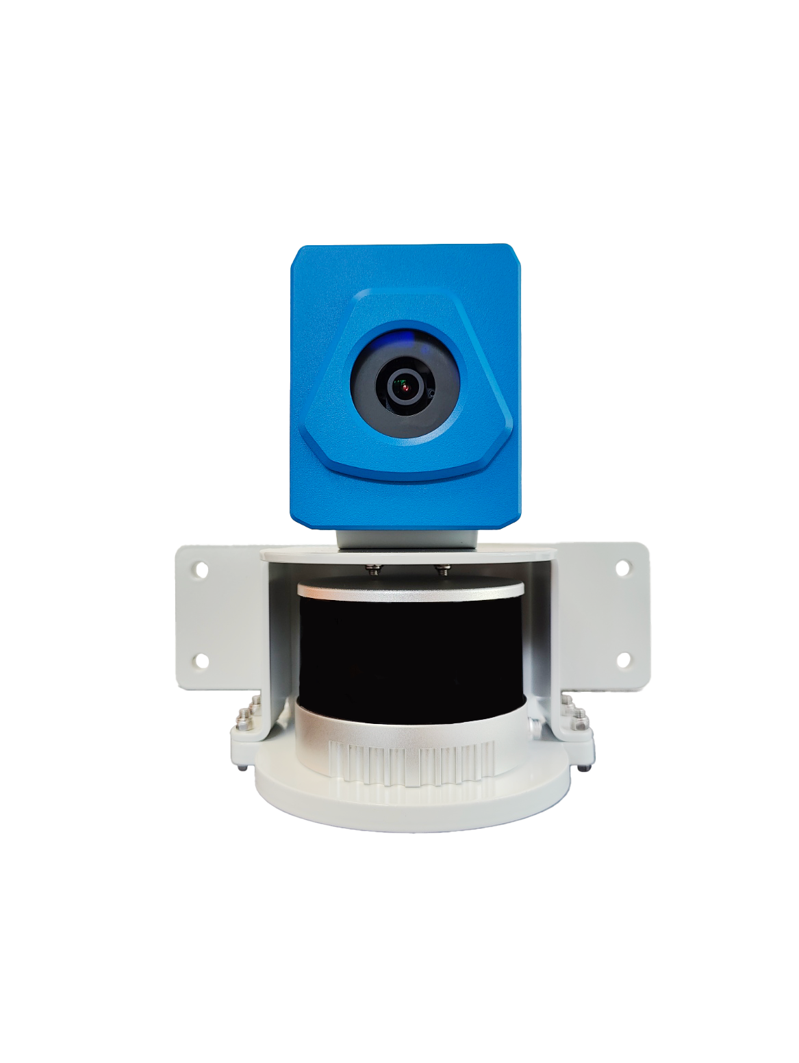
From earthworks and road construction to underground utilities, capture tools should fit the job. SDX-Compact & SDX-AutoScan scan the terrain while machines work, SDX-4DVision captures exposed trenches from the excavator boom, and SDX-PocketScan covers smaller trenches or harder-to-reach areas.
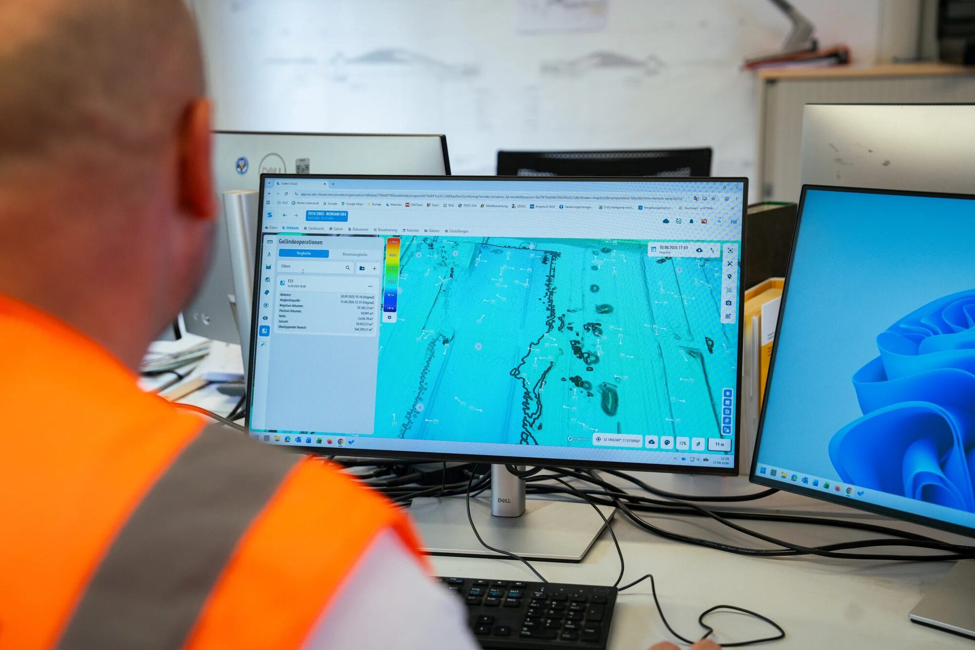
Bring the data together in SDX-Cloud to check grades, calculate quantities, and document completed work. Combine machine scans with drone surveys and design models, then share measurements and reports to keep field teams, surveyors, and project managers aligned.
SDX-Cloud tools for civil construction.
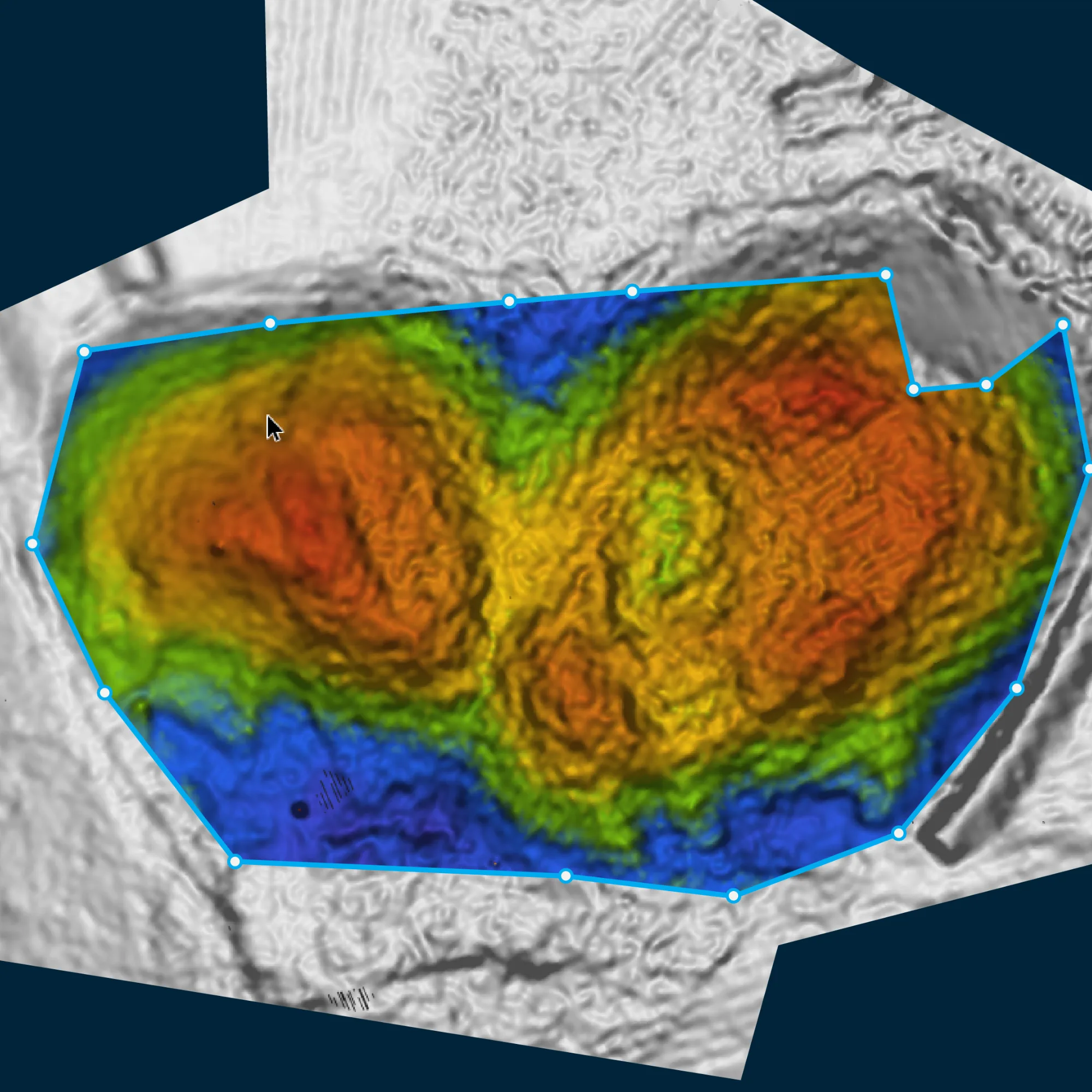
Site Balancing
Find the elevation where cut and fill volumes balance. Share information with the team so design files can be adjusted.
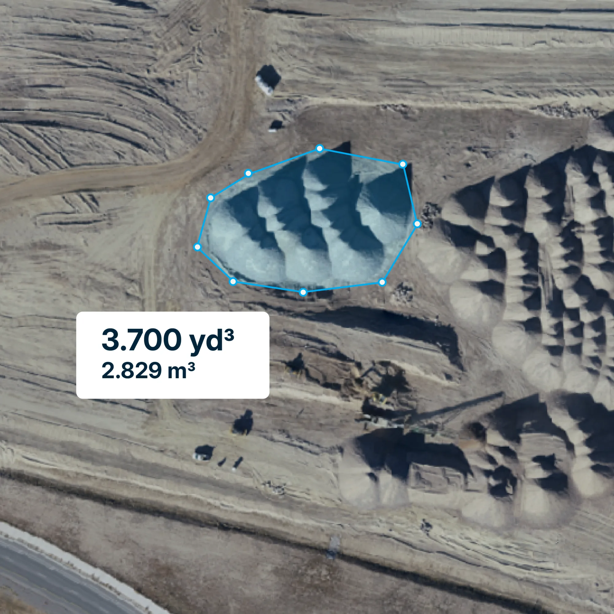
Volume Calculations
Calculate cut & fill, and stockpile volumes within defined areas. Measure against a reference surface to support quantity checks, planning, and billing.
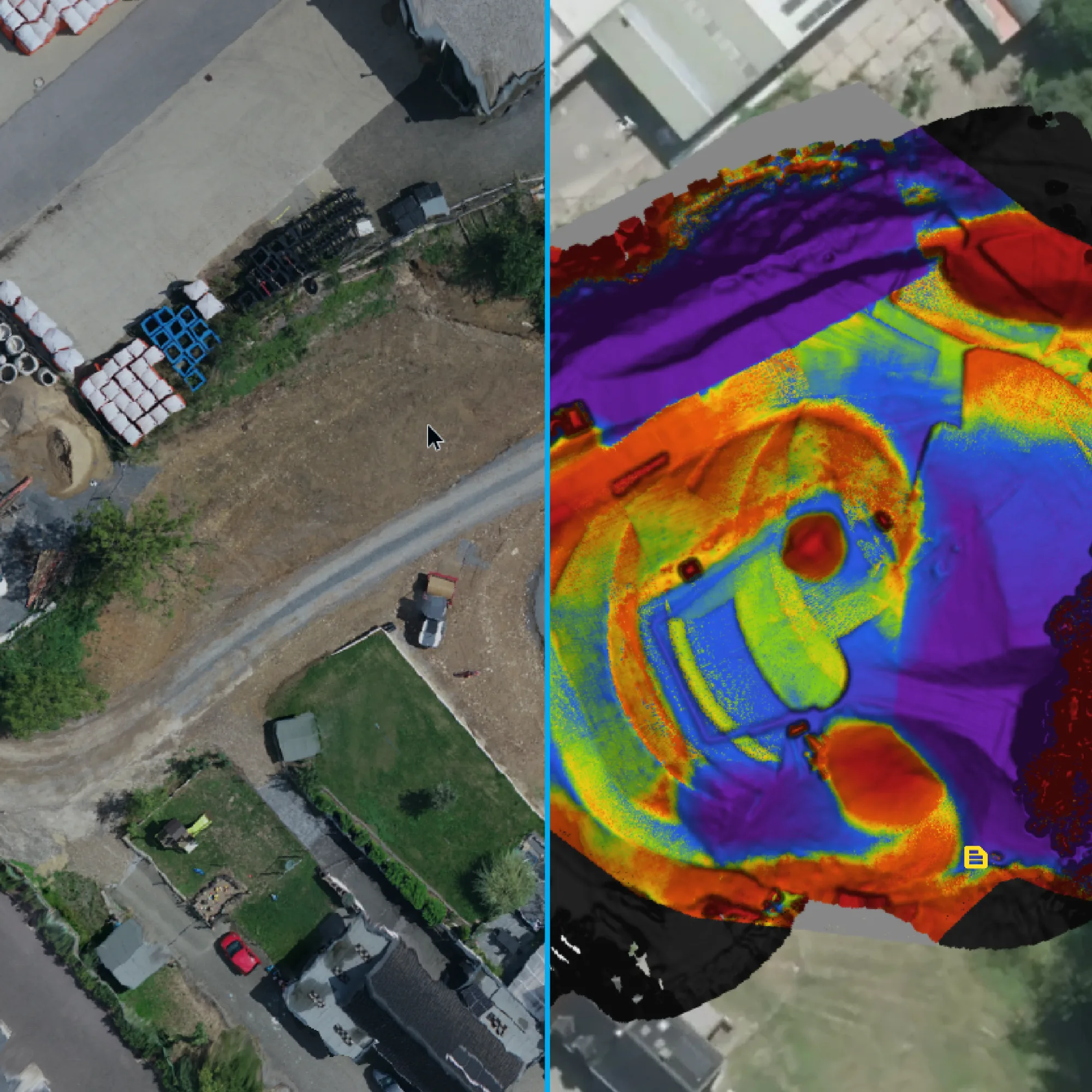
Surface Comparison
Compare captured terrain against design or earlier surveys. Use color-coded height differences to check grade and see where material has moved.
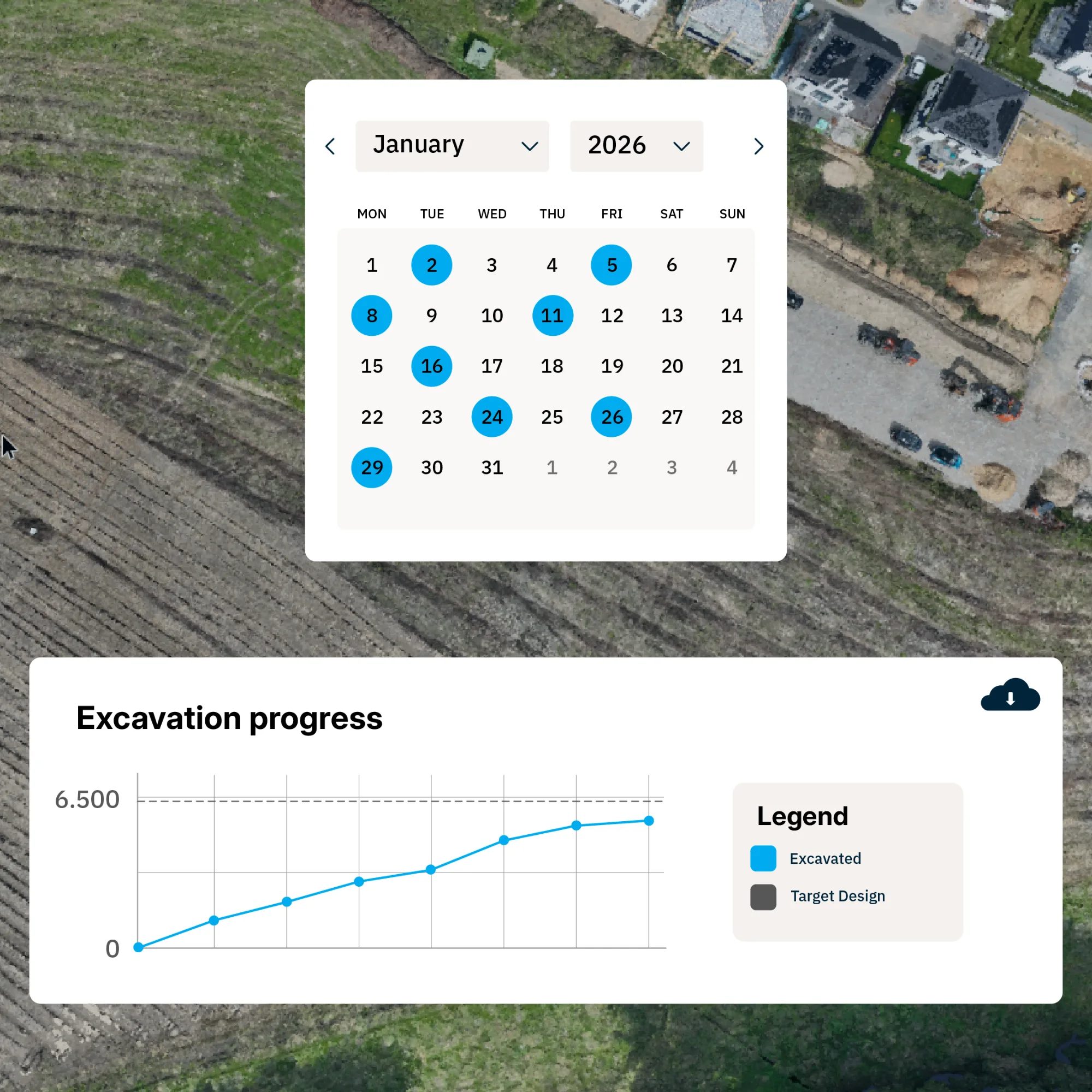
Progress Tracking
Define work areas once and track quantities as new survey data arrives. Follow excavation and filling progress against the original ground or target design.
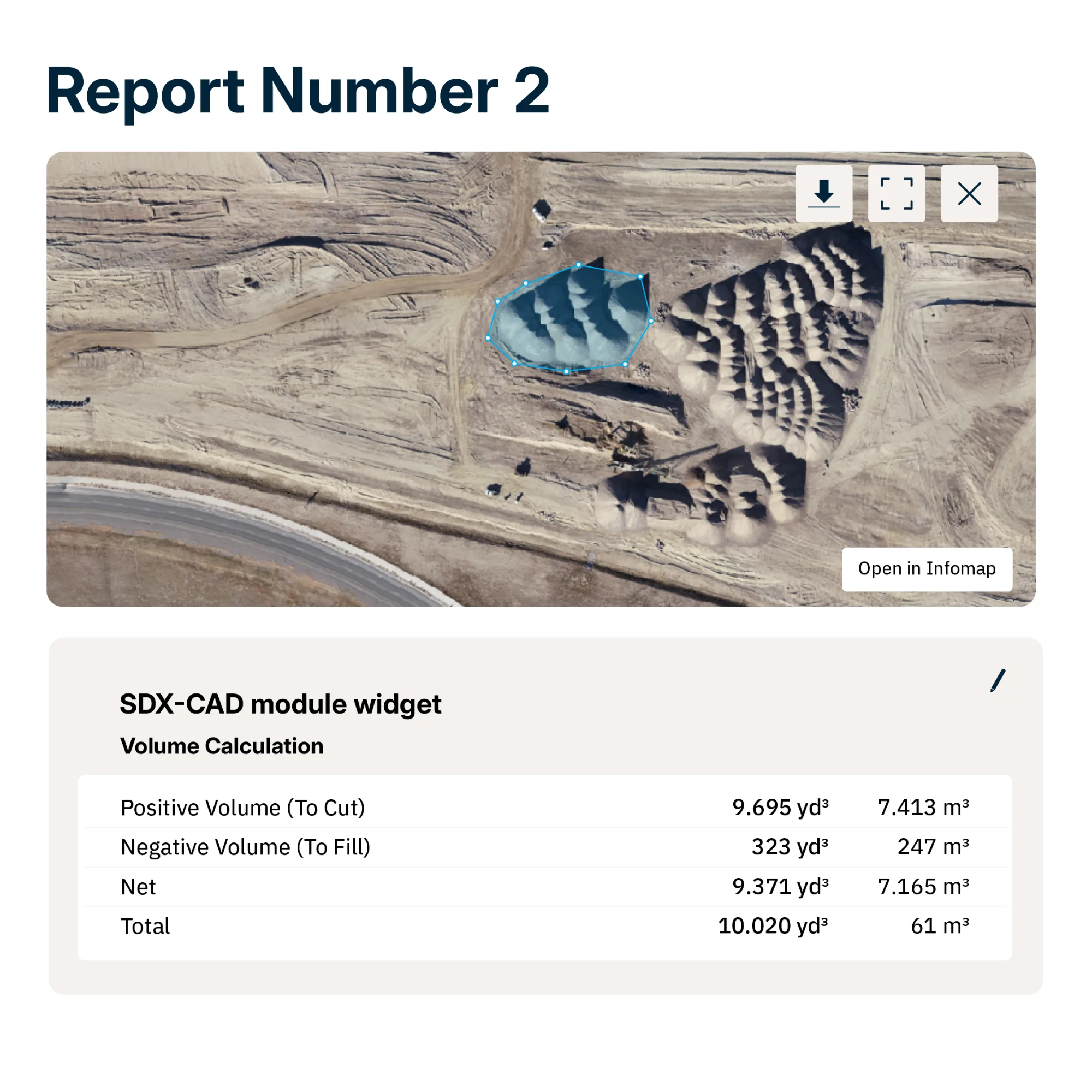
Custom Reports
Combine annotated site views, measurements, and comparisons in branded reports. Export PDFs or share read-only document links with any relevant stakeholders.
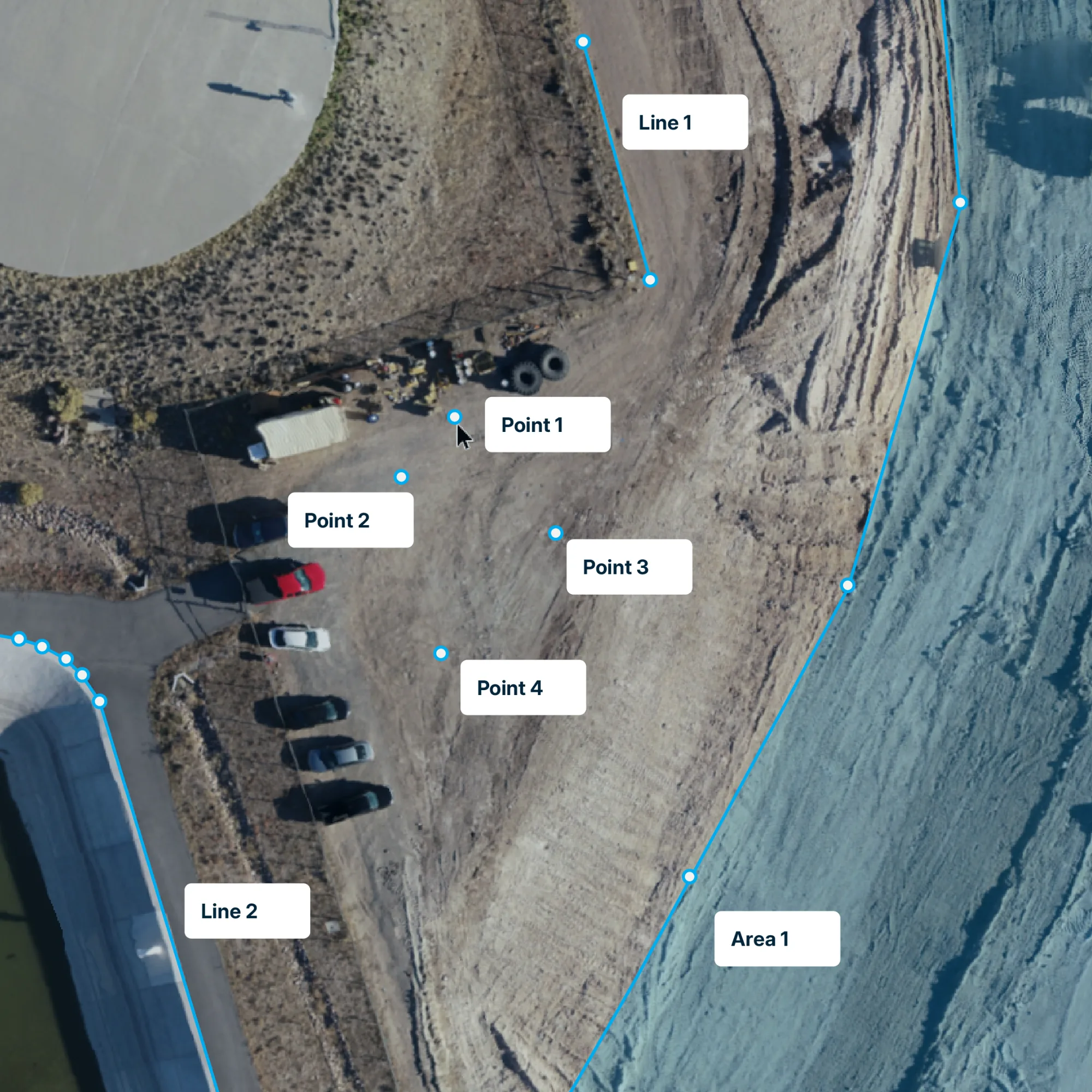
SDX-CAD Documentation
Draw points, lines, and areas directly on captured 3D data. Add custom fields to classify measurements with pipe types, materials, or add images, then export drawings and measurements for as-built documentation.
What our customers say about us.
“Data collection is significantly more comfortable and faster than walking the construction site with a rover pole, and I never get the data at this density either, because something always gets forgotten somewhere - you just walk past it and miss it.”
- SDX-Compact
- SDX-Cloud
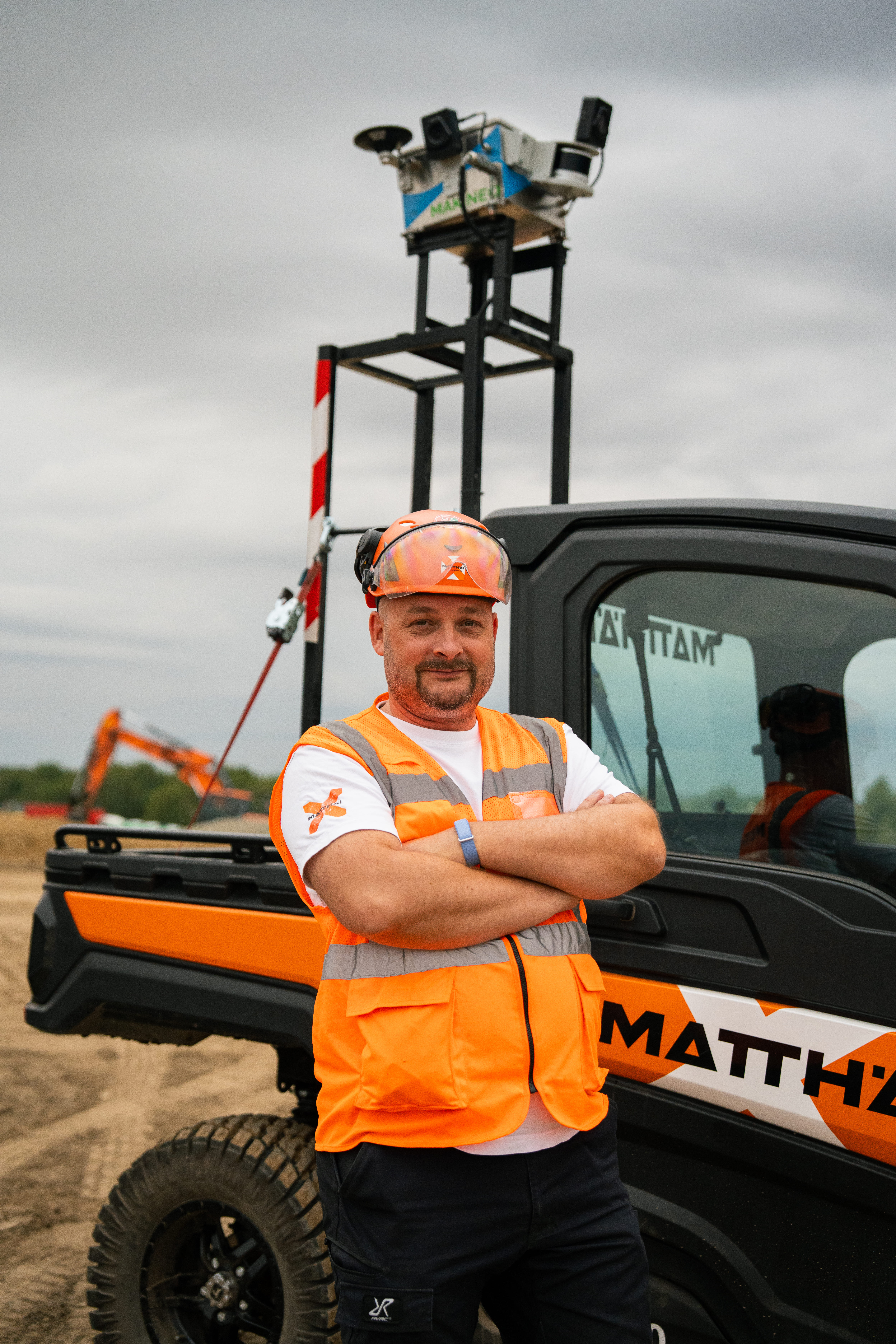
Christian Bosdorf
Surveyor, Matthäi
“Digitally recording and documenting several kilometers of construction roads as part of the SuedLink project was a major challenge. Using conventional methods, this process would have been extremely time-consuming and costly. However, thanks to Sodex, we were able to complete the documentation and inventory quickly and efficiently.”
- SDX-Compact OnTop
- SDX-4DVision
- SDX-Cloud

Maximilian Bürkle
Project manager, LEONHARD WEISS
“Day to day, week to week, we can see where our cut and fill maps are and how much cut and fill we have left to do on the job.”
- SDX-Compact OnTop
- SDX-PocketScan
- SDX-Cloud
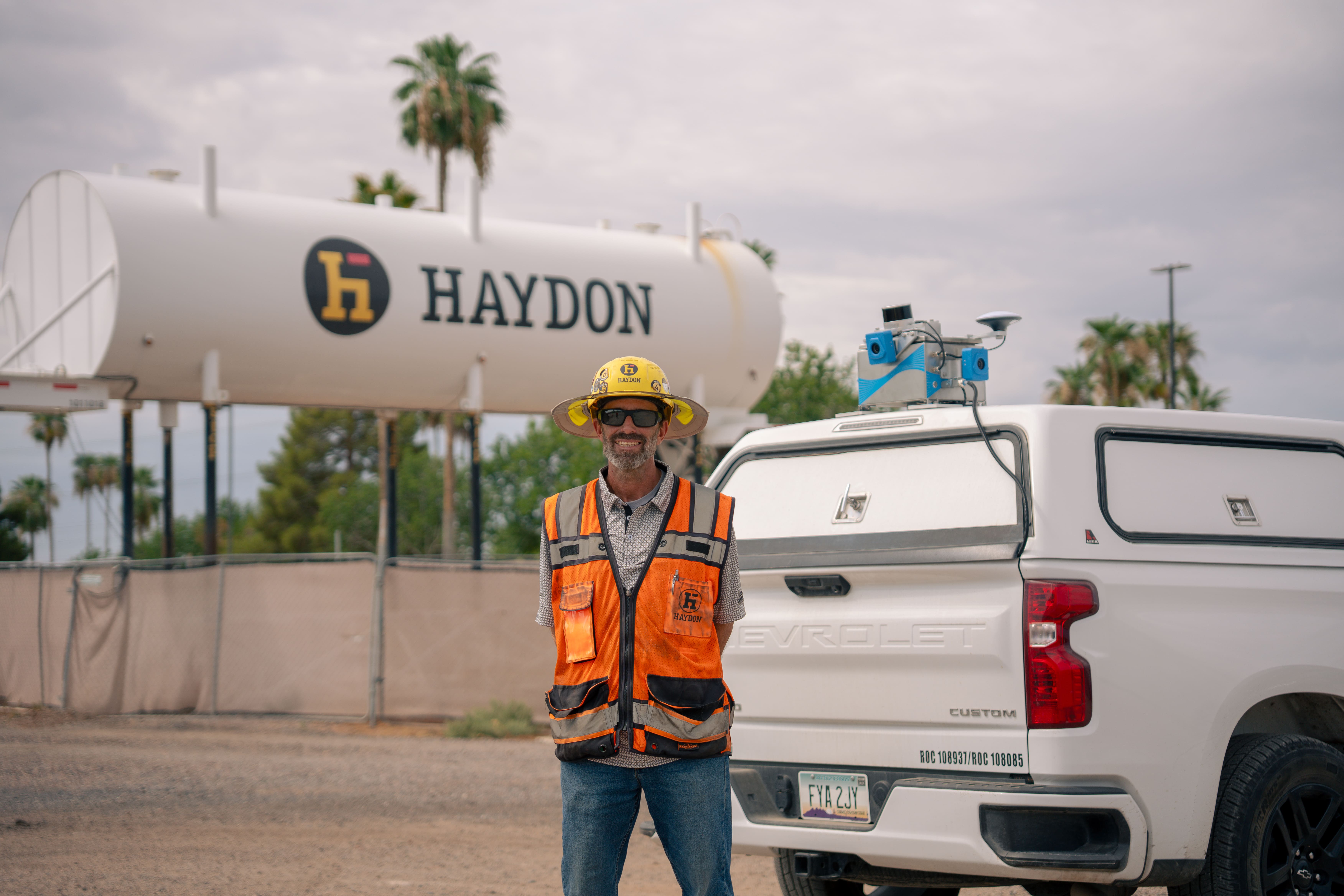
Jason Elder
Project superintendent, Haydon

Explore our global network of channel partners.
Local partners in the United States, Europe, and Australia demo SDX-Systems on your site and support you before, during and after the purchase.
FAQs
Sodex Innovations automates site data capture by mounting 3D scanning systems directly on construction machinery. As machines work, they scan the surrounding terrain and upload data to SDX-Cloud automatically. Civil construction teams can use up-to-date data to measure quantities, monitor earthworks progress, and document site conditions with less separate surveying effort. Moreover, the SDX-Compact solution offer mobile mapping possibilities for roading work.
News & Updates
Sign up for updates in construction tech, products, and industry insights.