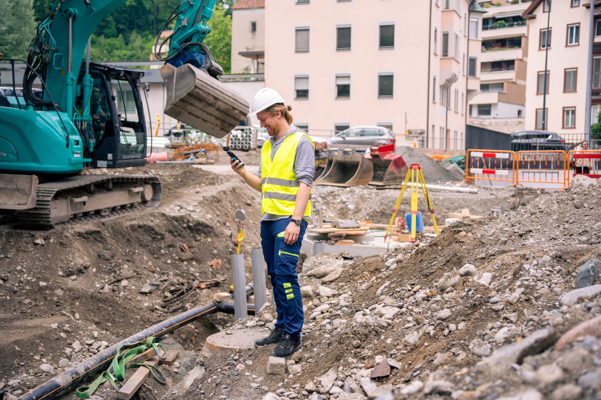
One handheld system. Three ways to capture.
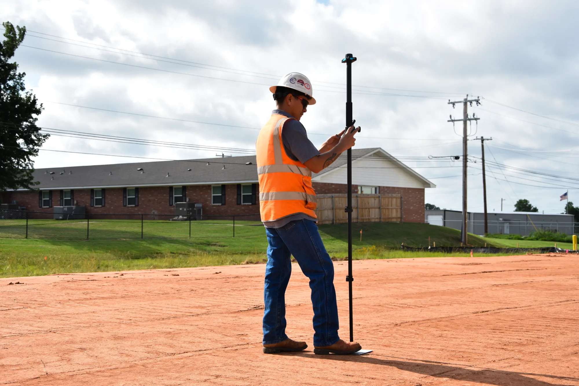
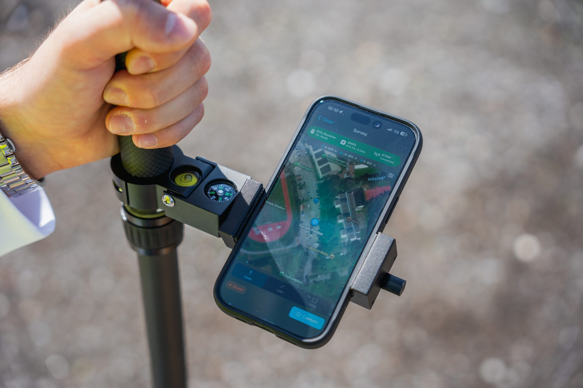
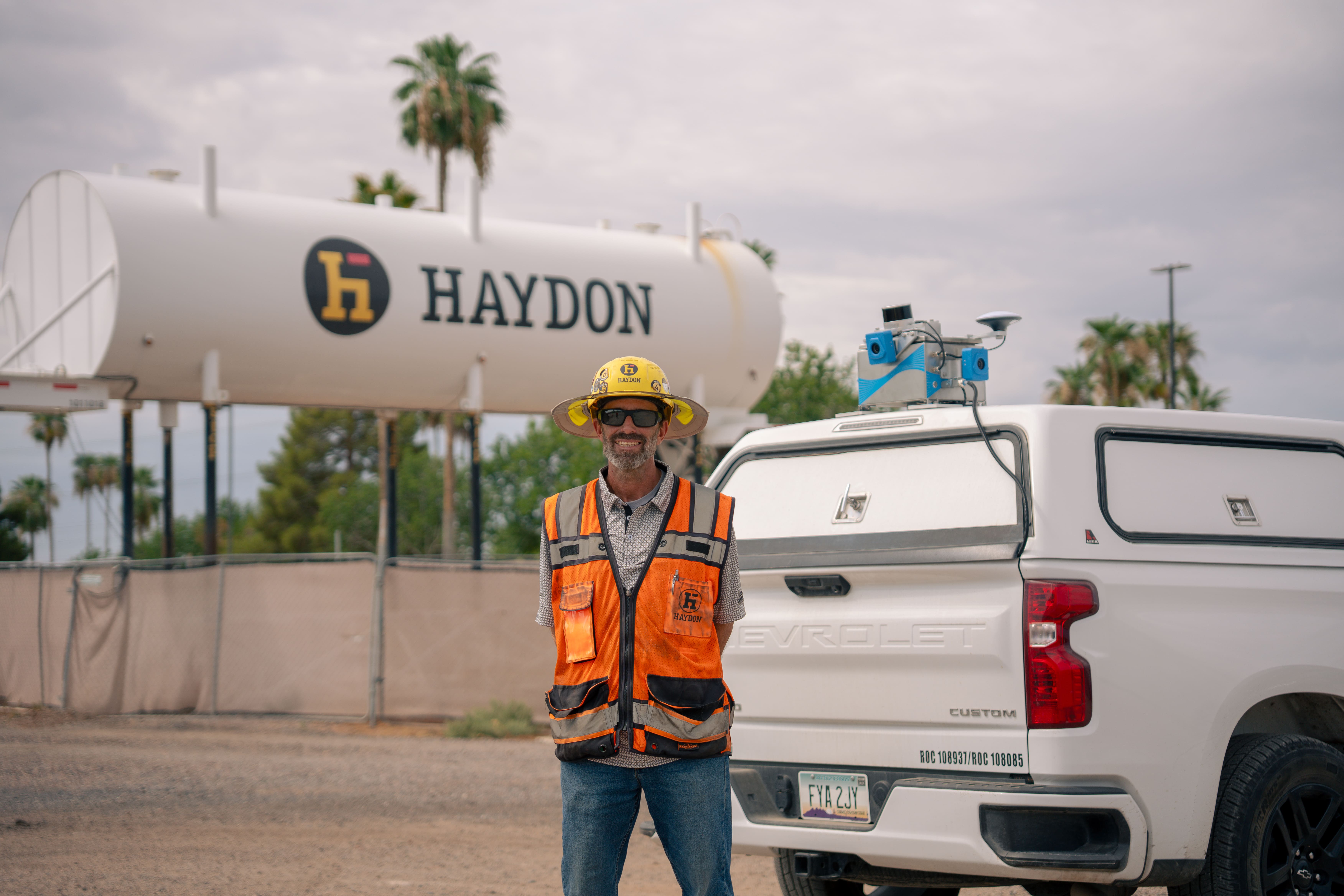
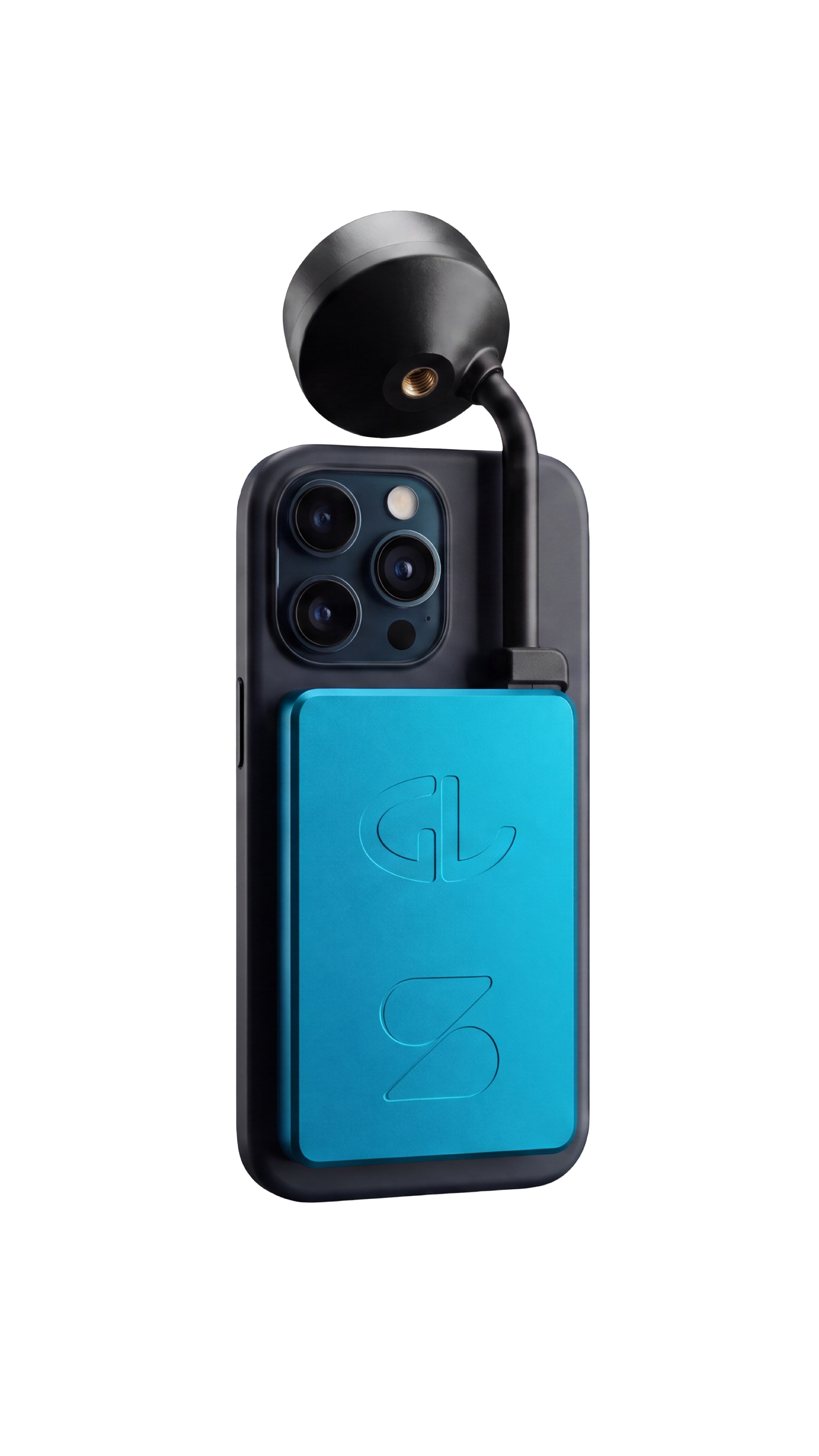
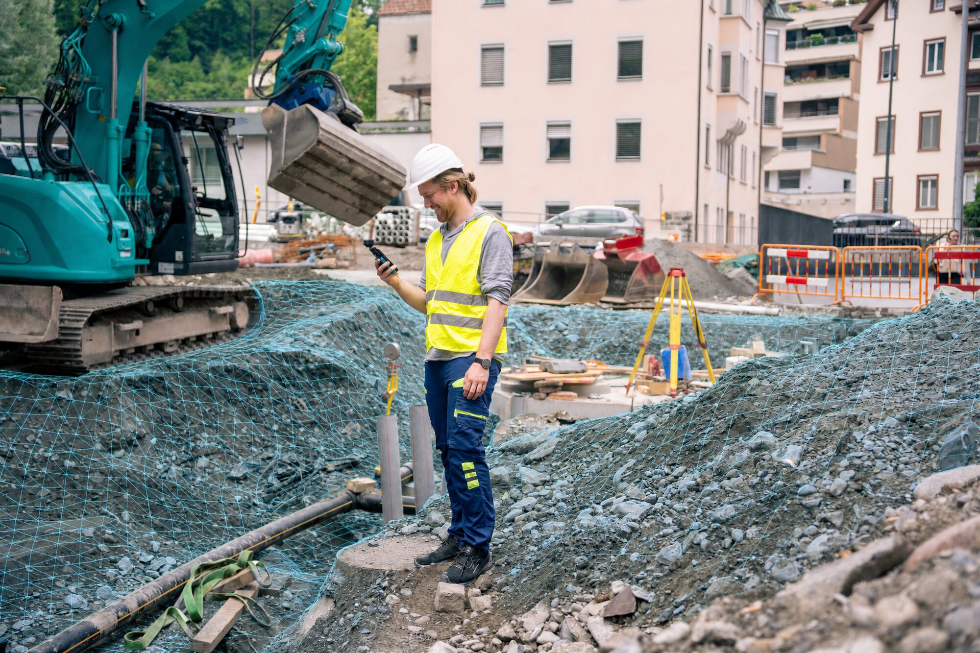
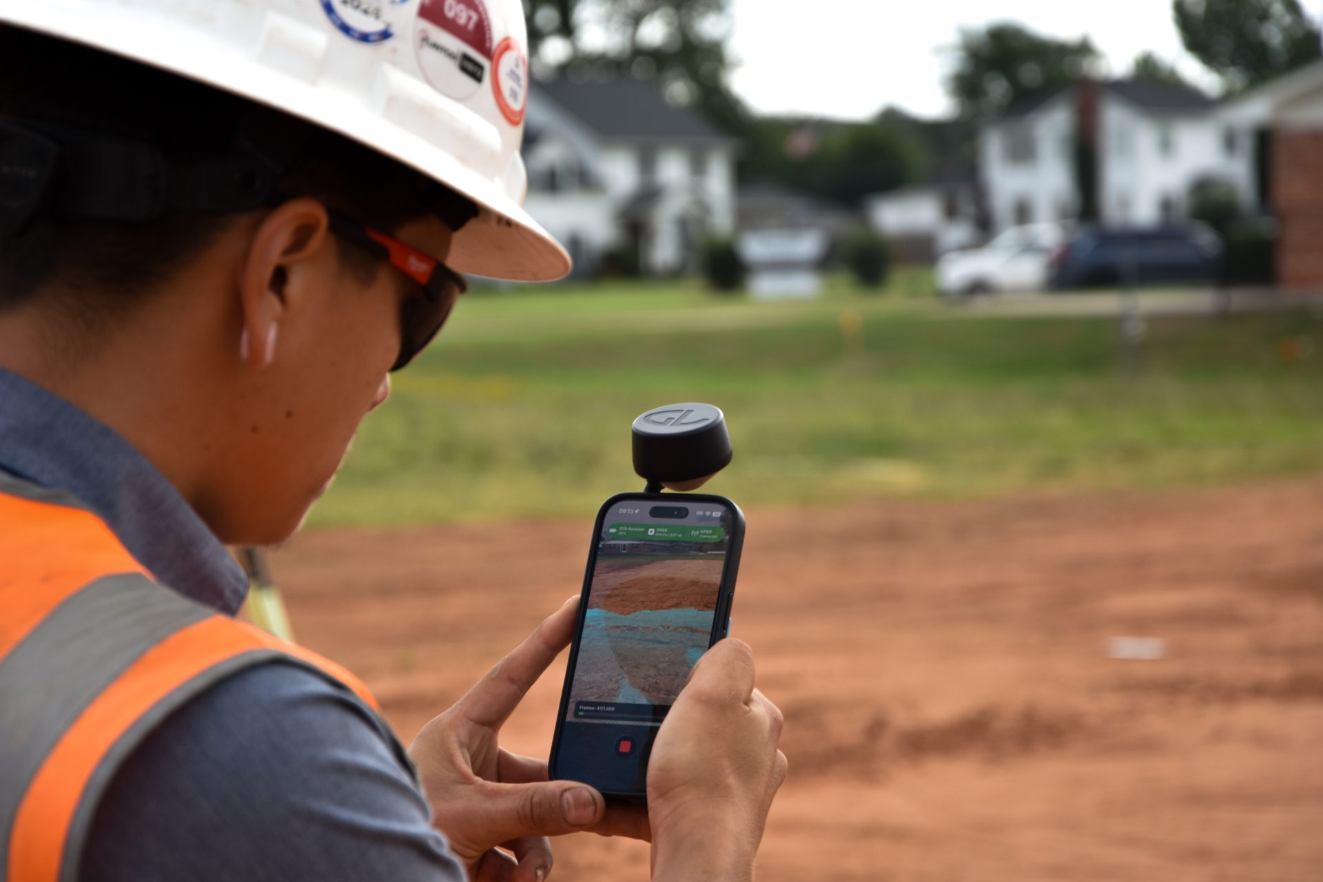
SDX-PocketScan combines a compact GNSS receiver, a compatible iPhone, and the Sodex Mobile app for georeferenced site surveying and 3D documentation. Capture trenches, utility installations, small stockpiles, sidewalks, and curbs, then review and measure the results in SDX-Cloud.
Choose photogrammetry for detailed image-based 3D models, or use the built-in LiDAR scanner on a compatible iPhone Pro for fast, close-range capture. With the pole antenna, you can also measure individual points, lines, and areas, or record ground control points (GCPs) for photogrammetry projects.
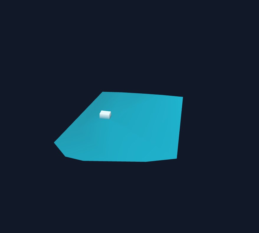
Bring your captures into the same SDX-Cloud project as drone surveys and design models. Turn field data into measurements, drawings, and reports for planning, as-built documentation, and handover.
Capture requires suitable GNSS reception and an internet connection. Use ground control points where appropriate and independent checkpoints to verify accuracy.
 (1).jpg)