Loading page…

Solutions
From machine-mounted capture to handheld scanning and cloud-based review, Sodex Innovations helps teams bring site information into one practical workflow.
Your projects. Our capturing tools. One central platform.
Different sites need different ways to capture information. Sodex Innovations combines machine-mounted, handheld and drone solutions with a cloud-based platform, so teams can review site data and share it with the people who need it.
One place to review all your site data.
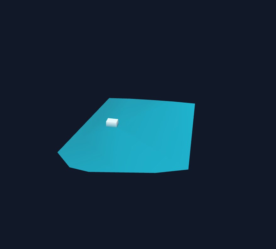
Turn, zoom, and move through the scan. Double-click a spot to fly there.
Why teams work with SDX-Cloud.

Spend less time preparing results
Bring processing, measurements, comparisons, and reporting into one workflow. Reduce file transfers and repeated preparation between separate tools.
Make decisions from measured conditions
See where terrain differs from design, how much material has moved, and what remains. Use measurements and trends to plan work and identify issues early.

Give every team a clear answer
Share quantities, visual context, and progress through dashboards and reports. Keep field teams, managers, and clients informed without asking everyone to navigate a 3D model.
- Earthmoving
- Landfills
- Road construction
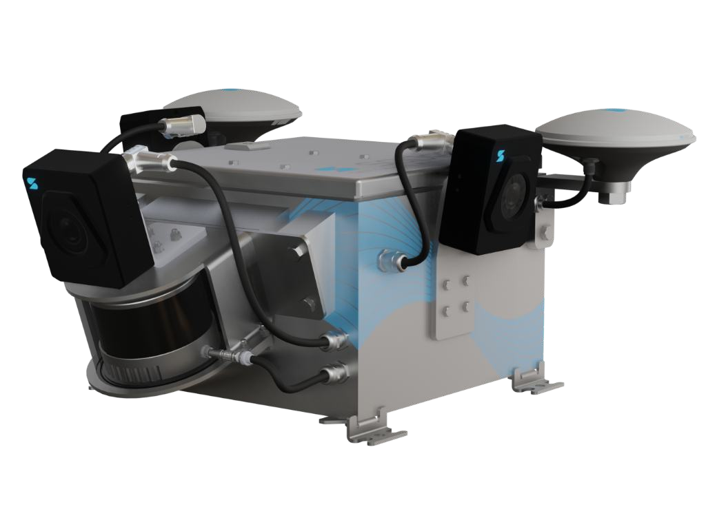
SDX-Compact
Turns dozers, graders, and wheel loaders into mapping devices. The LiDAR scans every pass, and data uploads to SDX-Cloud automatically up to every 10 minutes.
Details
- Best fit for: earthmoving, landfills, road construction, mostly on earthmoving machinery (except excavators)
- Field of view: 180° (rear-facing LiDAR setup)
- Scanning range: up to 35 m (114 ft)
- Accuracy: 1–2 cm (0.4–0.8 in) horizontal and 2–3 cm (0.8–1.2 in) vertical
- Mounting: roof mounted with adhesive base plates
- Power: 9–36 V, powered by the machine
- Mobile mapping
- Quarries
- Storage areas
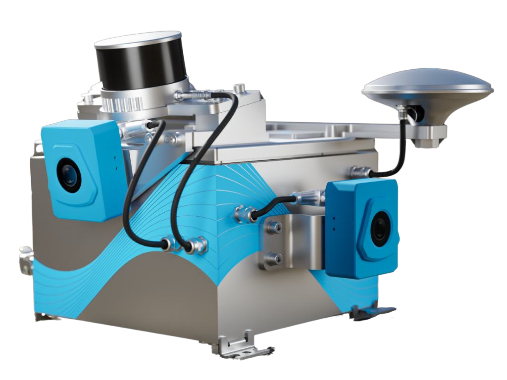
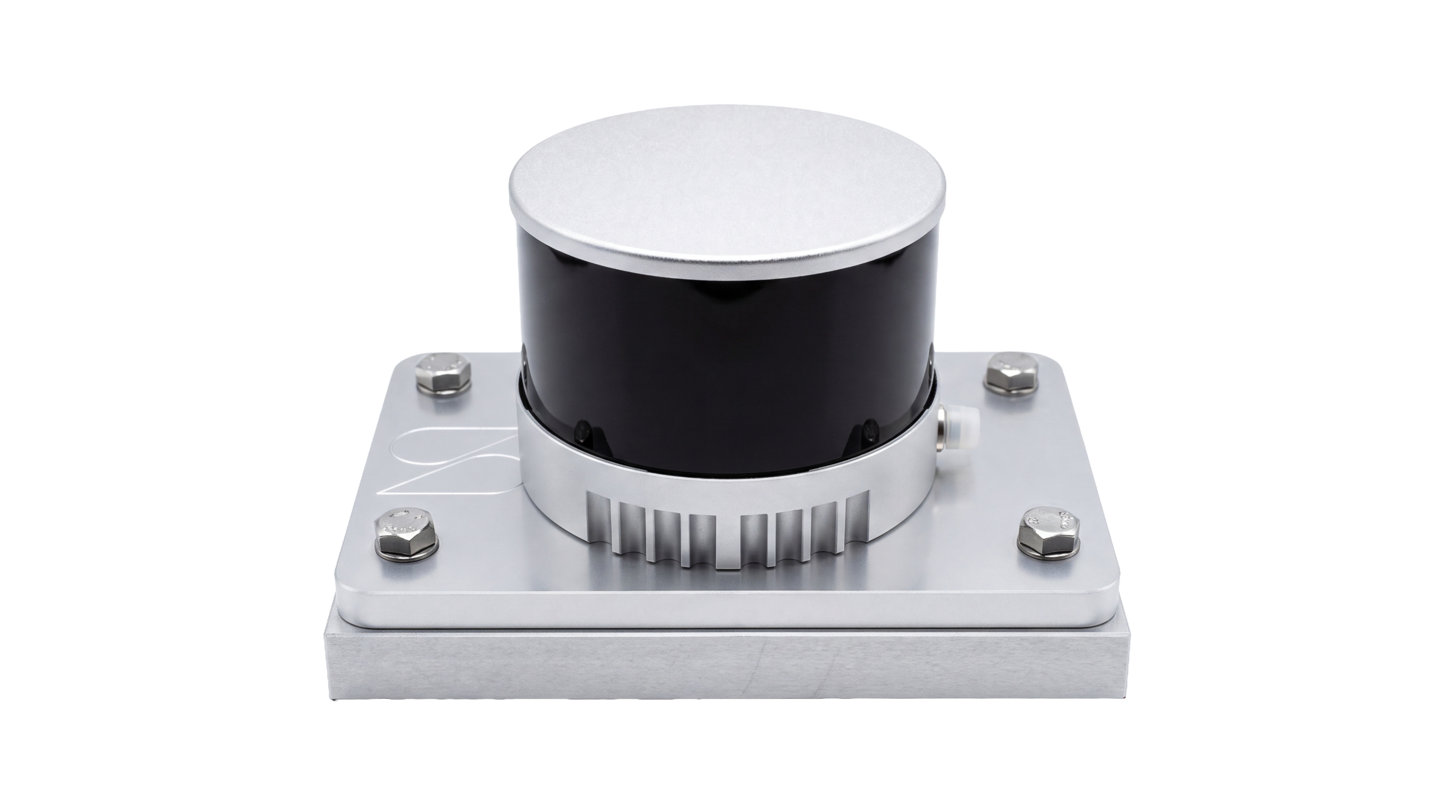
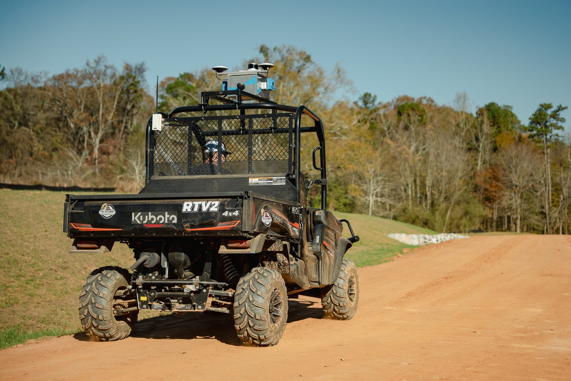
SDX-Compact OnTop
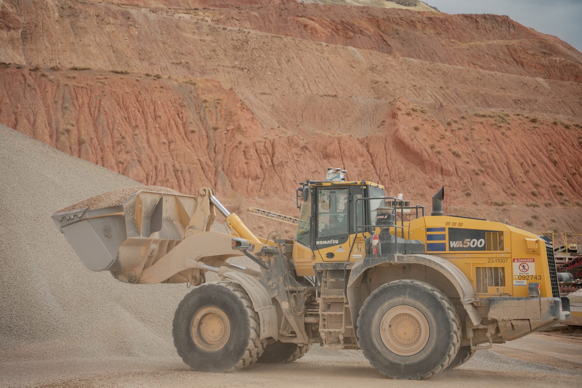
Full 360° scanning for vehicles and wheel loaders. Ideal for stockpile volumes, quarries, and mobile mapping of roads.
Details
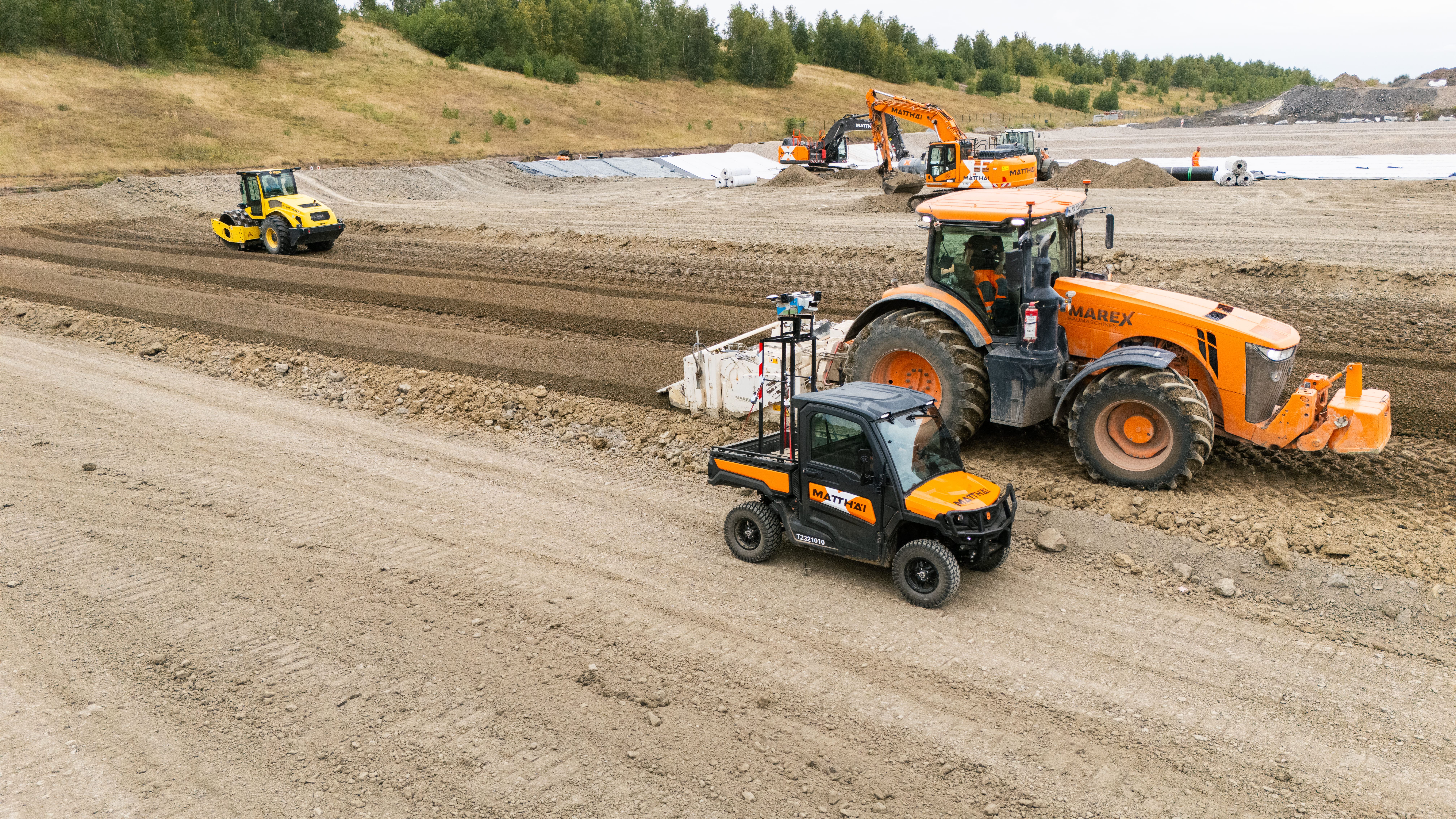
- Best fit for: mobile mapping, quarries, storage areas, mostly on cars, side-by-sides or wheel loaders
- Field of view: full 360°
- Scanning range: up to 42 m (137 ft)
- Accuracy: 1–2 cm (0.4–0.8 in) horizontal and 2–3 cm (0.8–1.2 in) vertical
- Mounting: roof mounted with adhesive base plates
- Power: 9–36 V, powered by the machine
Easily swap SDX-Compact systems between machines in just minutes.
Thanks to a simple plug-and-play design that does not require vehicle-specific calibration, switching units between machines is possible in less than 5 minutes.
- Earthmoving
- Civil Construction
- Landfills

SDX-AutoScan
Turns your dozer into a mapping device by being integrated with Trimble Earthworks.
Details
- Best fit for: dozer work in earthmoving use cases
- Field of view: full 360° view
- Scanning range: up to 15 m (50 ft)
- Accuracy: 1–2 cm (0.4–0.8 in) horizontal and 2–3 cm (0.8–1.2 in) vertical
- Mounting: fixed installation
- Small sites
- Earthworks
- Landscapes
- Utilities
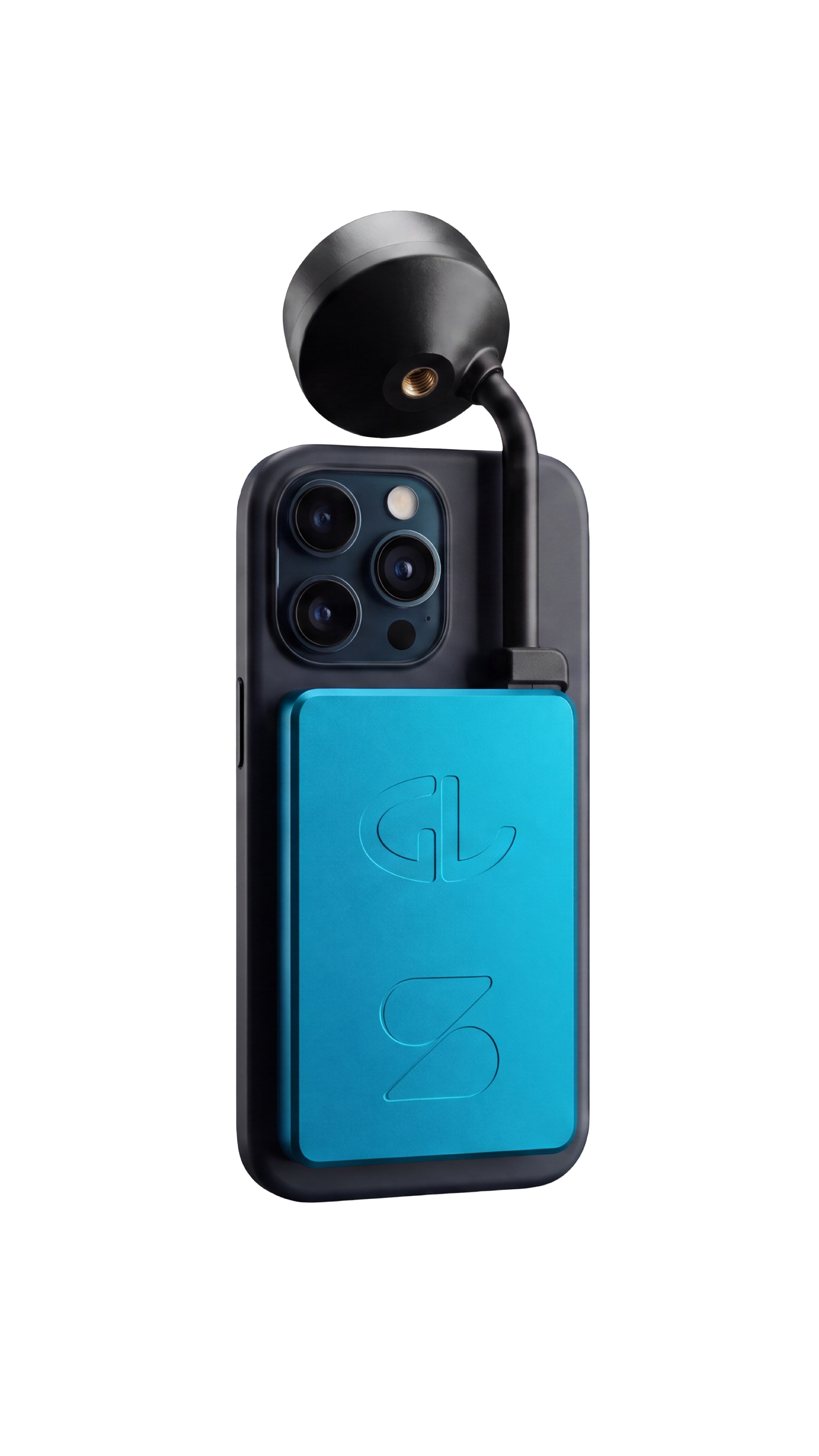
SDX-PocketScan
Turns an iPhone into a survey-grade scanner for small sites and hard-to-reach spots.
Details
- Best fit for: utilities, small site surveying, earthworks, landscaping
- Data capture: Photogrammetry (best results), LiDAR (only with iPhone Pro) or use as a Rover Pole
- Accuracy: 1–2 cm (0.4–0.8 in) horizontal and 2–3 cm (0.8–1.2 in) vertical
- Mounting: via MagSafe case
- Underground utilities
- Trenches
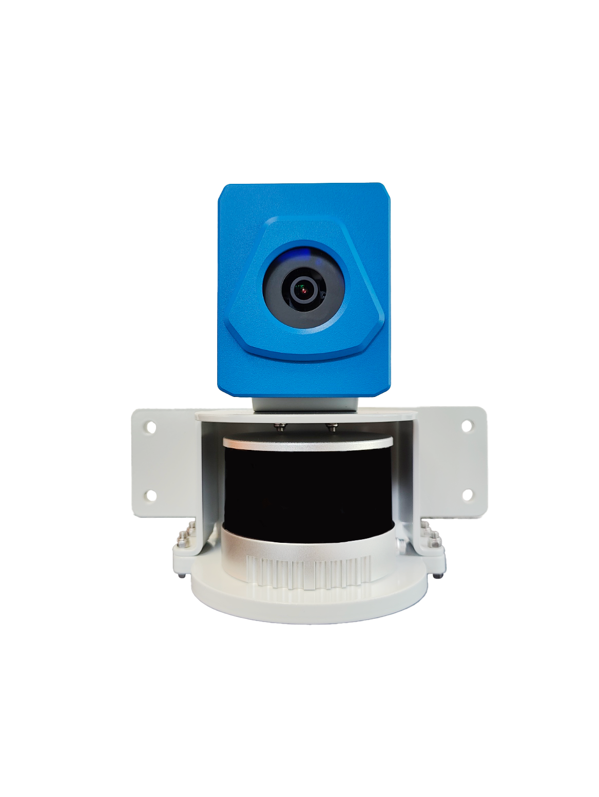
SDX-4DVision
Mounted on the excavator boom and integrated with Trimble Earthworks machine control, it scans trenches, pipes, and cables.
Details
- Best fit for: underground utilities
- Scanning range: up to 20 m (65 ft)
- Accuracy: 1–2 cm (0.4–0.8 in) horizontal and 2–3 cm (0.8–1.2 in) vertical
- Mounting: fixed installation, LiDAR-camera combination on the boom & computing unit inside the machine
- Power: 9–36 V, powered by the machine
Discover your solution fit by industry

Discover our global network of channel partners.
Local partners in the United States, Europe, and Australia demo SDX-Systems on your site and support you before, during and after the purchase.
FAQs
No. SDX-Cloud combines scans from SDX-Systems with drone data and survey files from other devices in one platform.
News & Updates
Sign up for updates in construction tech, products, and industry insights.