Keeping up with data across multiple projects
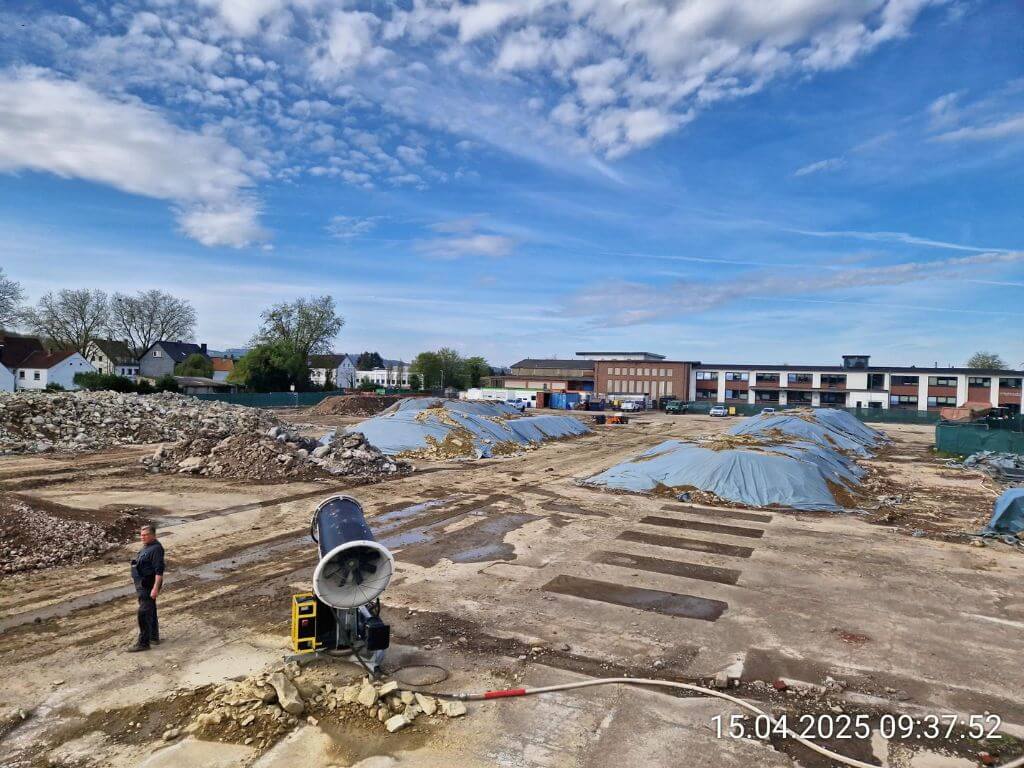
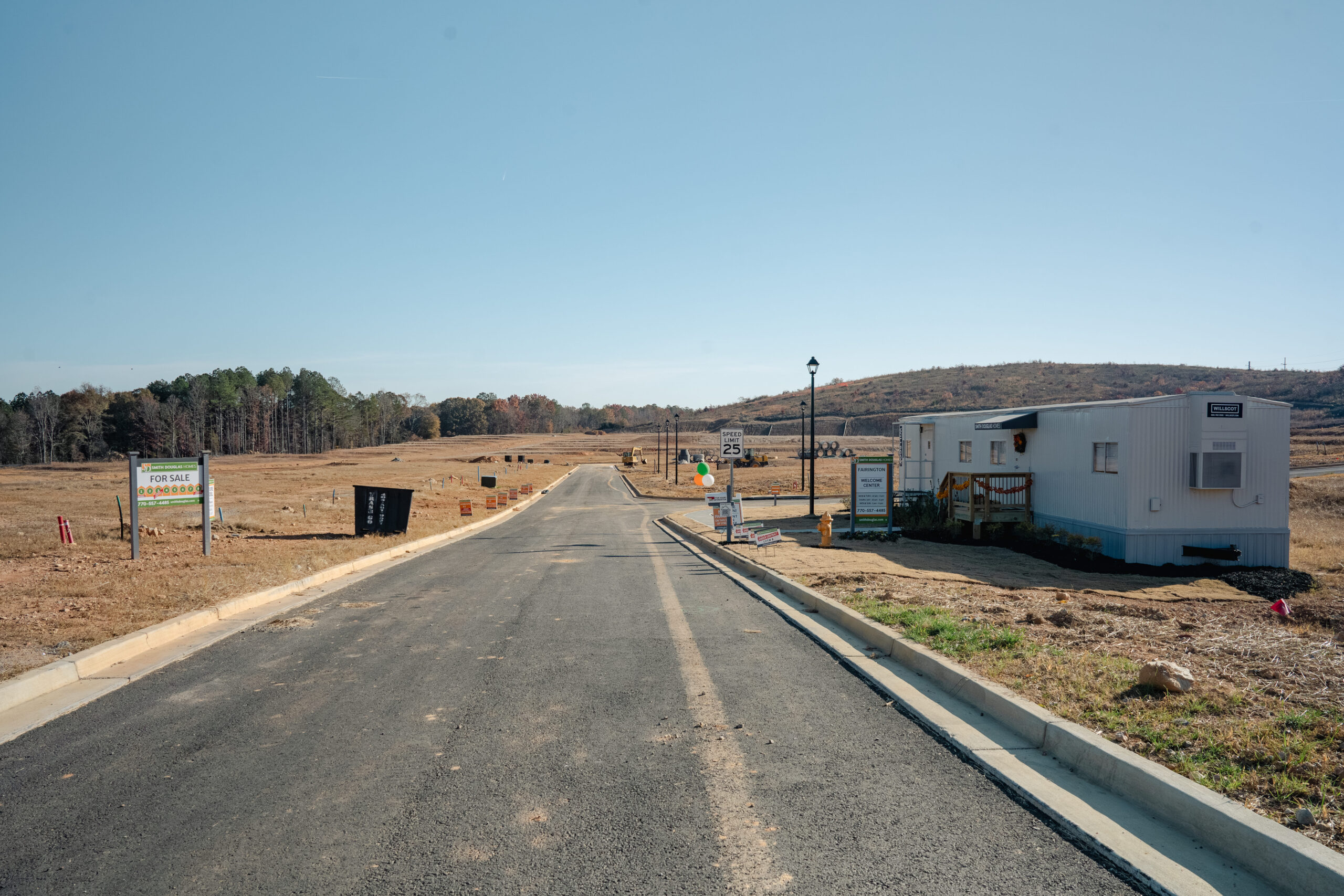
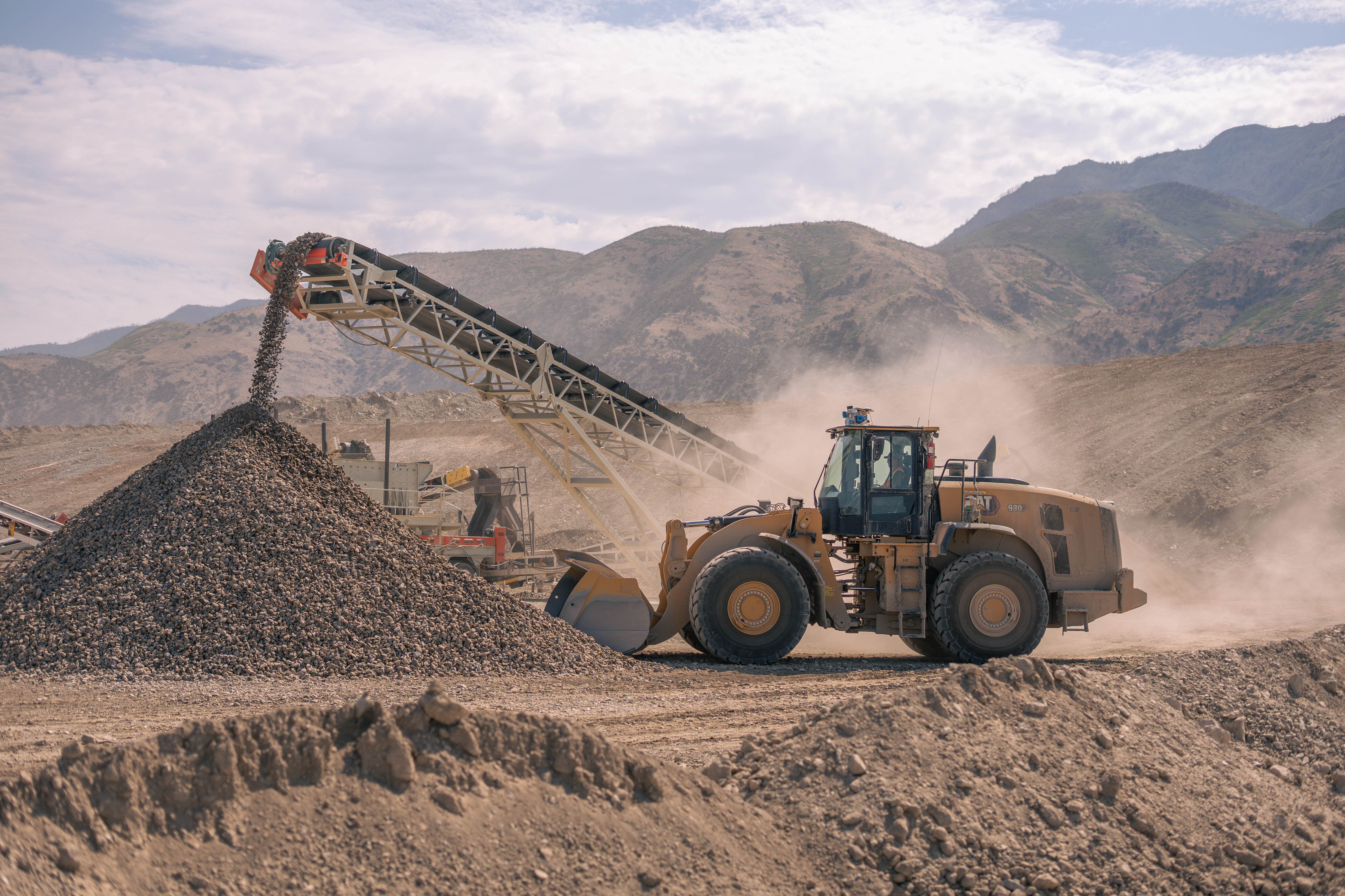
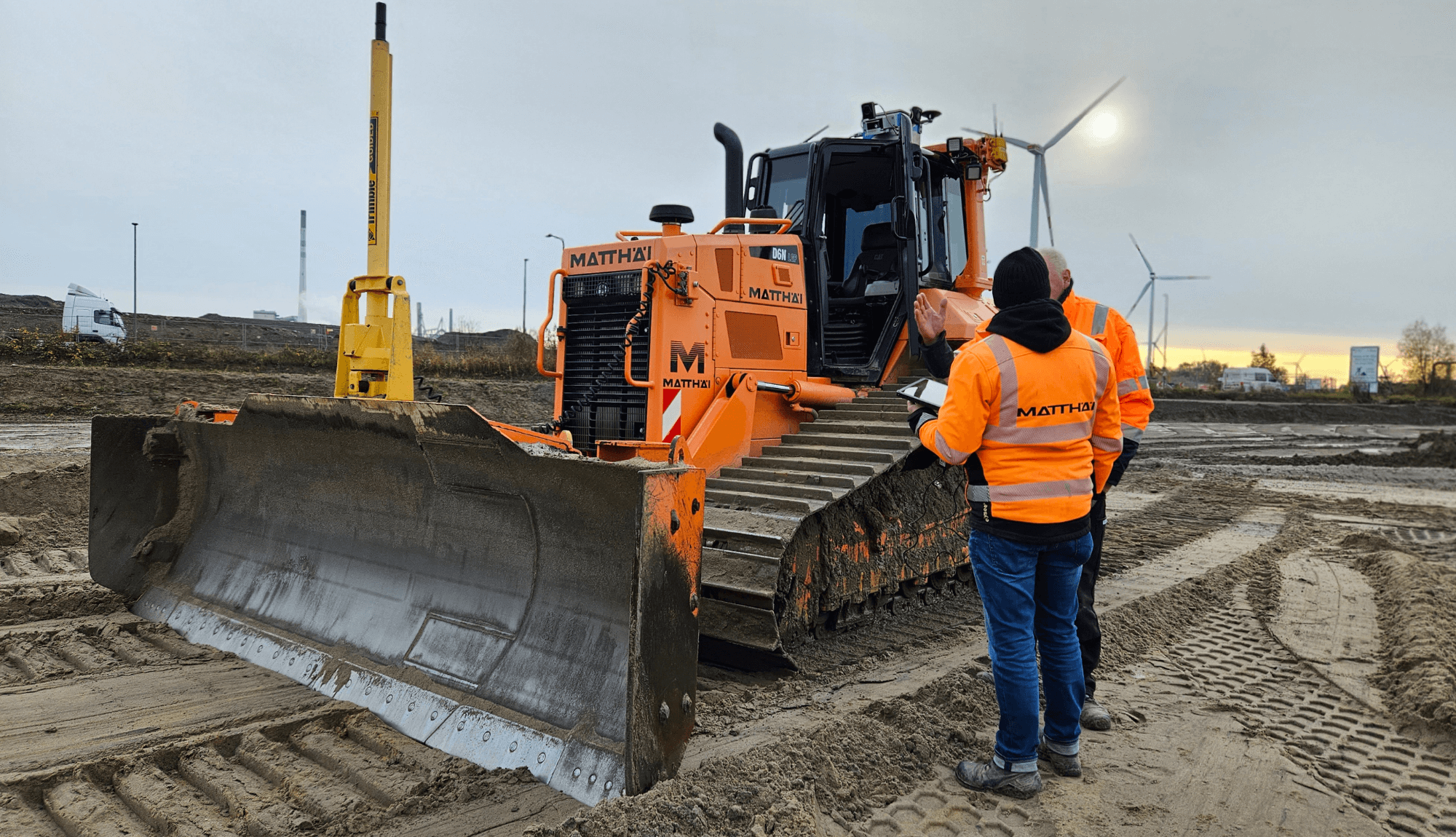
Matthäi operates across a wide range of civil engineering sites: landfills, road construction, and underground utilities are just a few examples. Each comes with its own documentation and surveying demands. Monitoring height compliance on a landfill. Recording road conditions before and after construction. Tracking material volumes across tens of thousands of square meters. Documenting pipes and cables when they are put into the ground.
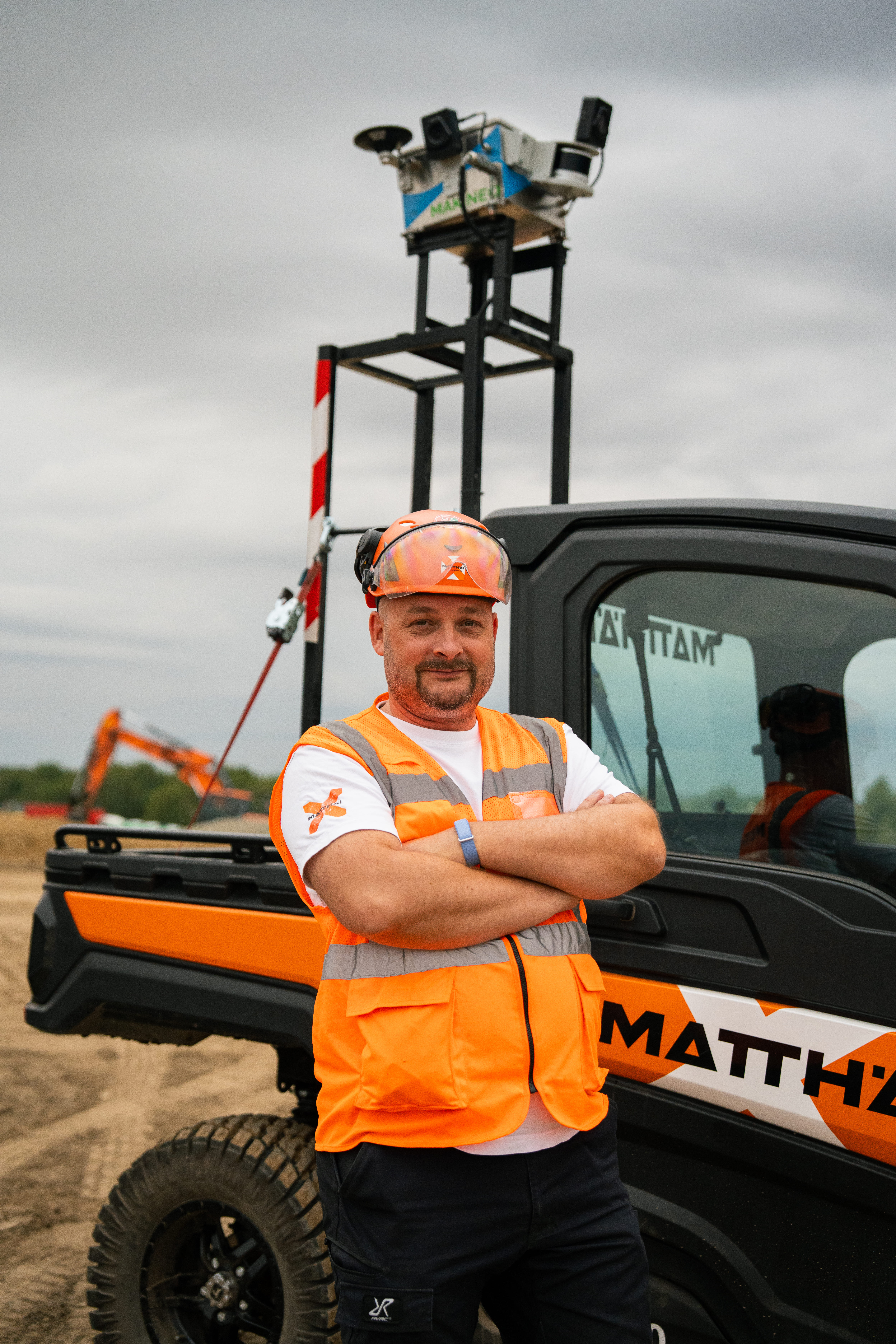
Traditionally a surveyor would walk the site with a rover, capturing data point by point. The process was slow, and the data was usually not as dense as needed. Important spots were missed, photos forgotten or never taken at all, and by the time results were compiled, conditions on site had already changed. Field books had to be filled out manually at the end of each day and for a team managing multiple active sites, this approach could not keep up any longer.