Loading page…

Project progress changes daily. Your data should too.
SDX-Compact mounts to a machine already on site and documents the surface as it works. Volumes, cut & fill and progress land in SDX-Cloud the same day, without booking a survey.
Book your SDX-Compact demo today!
Get in touch to arrange a demo, and we'll bring the SDX-Compact to your site so you can experience it firsthand in your own operating environment.
Does any of this sound familiar?

Surveying team can't keep up
Travel time between construction sites and priorities are the bottleneck across multiple running projects.

Drone data delayed by weather and processing
Data arrives days later, not when you need it for important project decisions.

As-built terrain data available only periodically
You're billing, reporting, and deciding on outdated numbers.
SDX-Compact makes real-time site data available in three steps
Sodex Innovations helps construction and earthmoving companies automate surveying workflows, delivering accurate site data from field to office with minimal effort. The SDX-Compact mounts directly to earthmoving equipment and turns every pass into a survey. Combining LiDAR scanning and GNSS positioning, it captures site data automatically the moment the machine is in operation and makes it available in the office in real-time.
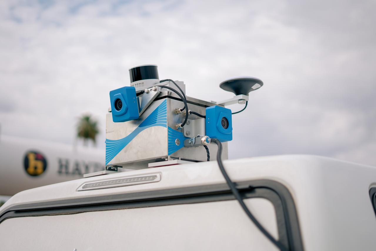
Step 1: Mount
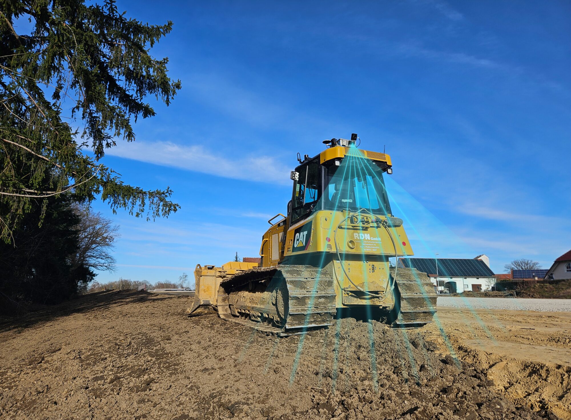
SDX-Compact installs on any wheel loader, dozer, and other types of earthmoving machines. No downtime, no operator interaction, no work interruption.
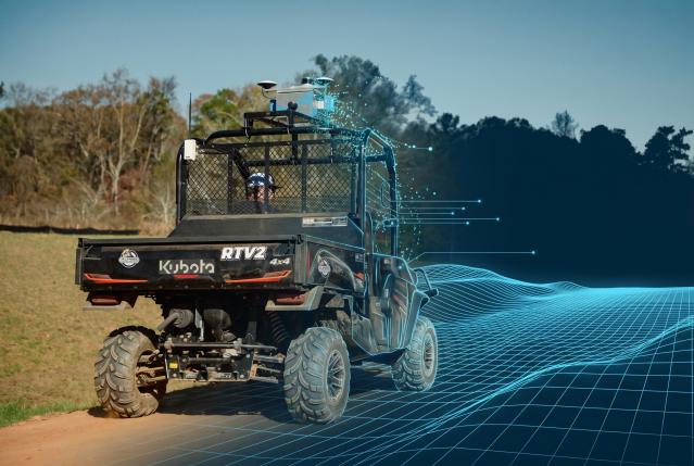
Step 2: Capture
As soon as machines start operating, SDX-Compact automatically captures high-accuracy terrain data using LiDAR scanning and cameras. No operator input needed.
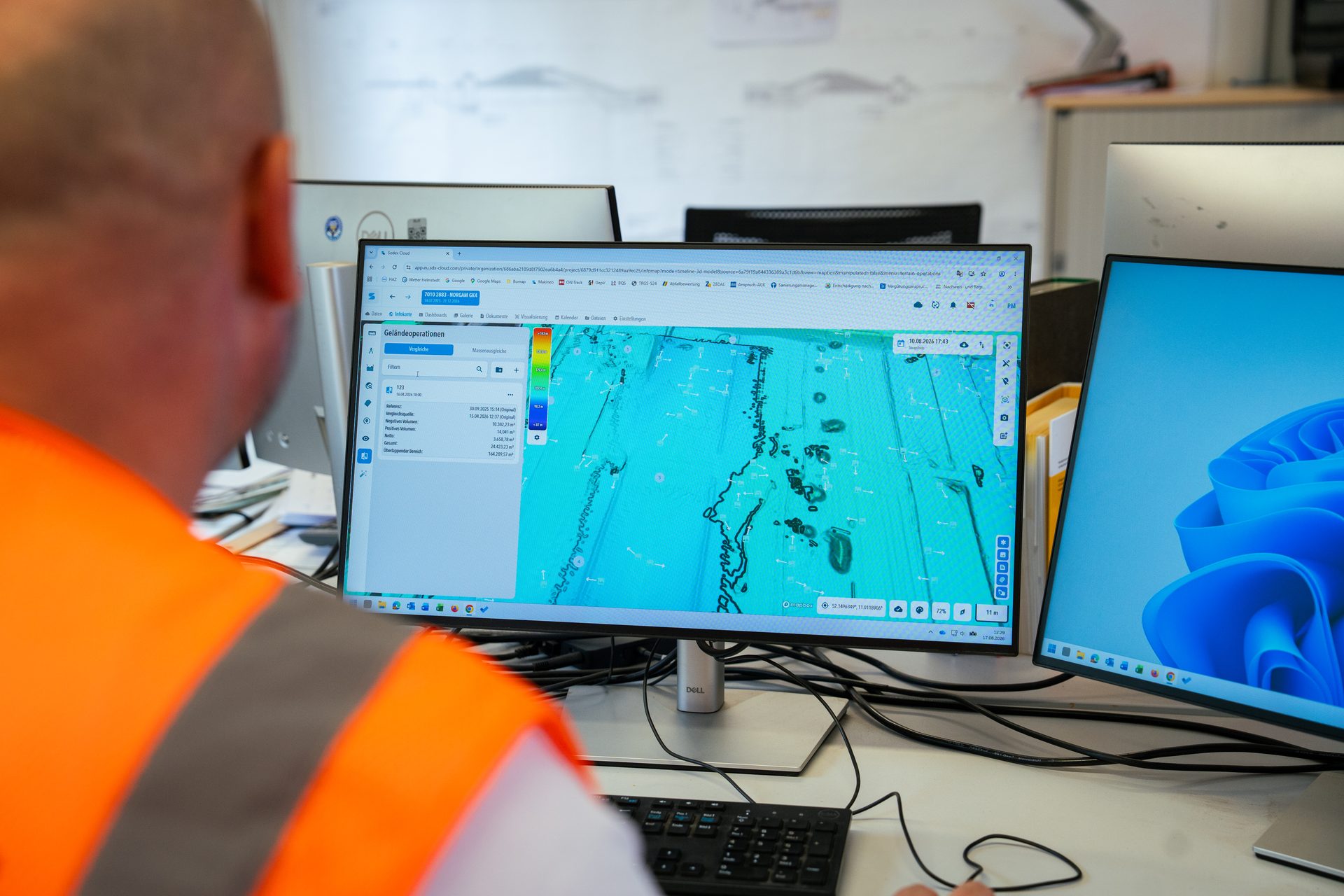
Step 3: Receive
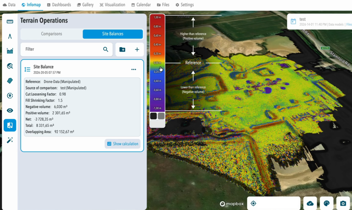
Updated as-built data flows into SDX-Cloud every 10 minutes. Access volume calculations, progress tracking, cut & fill analyses, and site balancing from your office, on any device.
Project decisions shouldn't depend on last week's survey.
SDX-Compact is built for mid-to-large earthmoving, civil construction, and aggregates companies that operate multiple machines across multiple sites and require frequent terrain updates. If your surveying team is stretched thin, your volume data is often outdated, or you need daily progress visibility without disrupting production, this is for you.
Three things site teams notice in the first week
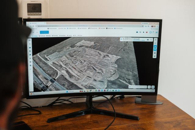
Automatic data availability
Nobody schedules it and nobody uploads it. SDX-Compact captures the surface during normal machine work and pushes it to SDX-Cloud every 10 minutes, so the current state of site is simply there when someone needs it.
Real-time data
Volumes, stockpiles and cut & fill reflect what the site looks like now, not what it looked like the last time someone came out to measure it. Decisions, claims and invoices all point at the same surface.
Easy to use & Quick ROI
No survey training and no separate workflow required. Operators drive as usual while the office receives the data automatically. Teams are productive from day one, with time savings and productivity gains realized immediately.

Proven by our customers
“It’s amazing because by the time we shut the machine down and we get back to the office the data is already there. You open up your computer and it’s all there.”

Seth Penland
Senior Project Manager, F.M. Kitchens
“I’ve dealt with drones and this blows the drone out of water. It is much more user-friendly and it’s easier to teach.”

Heath Bullard
Surveyor, United Grading & Excavating
“In the past, we had to rely on the weather and go through complex data evaluation. Today, a few minutes of driving is enough to get current terrain data.”
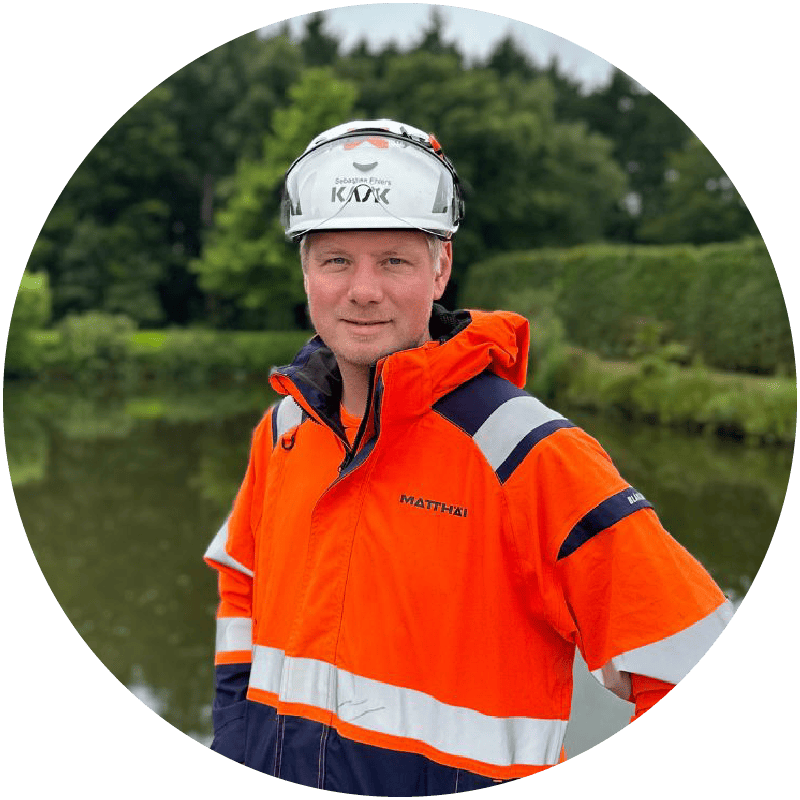
Sebastian Ehlers
Surveying Engineer, Matthäi
“The next step up from what GPS and drone data has been this: we're getting info multiple times a day, not just periodically through the year. That's the key with Sodex Innovations”
.jpeg)
Mitch Hansen
VDC Manager, BHI
Book your SDX-Compact demo today!
Book a personalized demo and see how continuous, automated terrain data can transform your project workflows.
Join the growing number of success stories
Hear directly from customers about the challenges they faced, why they chose SDX-Compact and SDX-Cloud, and the results they've achieved. Your success story could be next. Schedule a demo and see the solution in action on your own site.