
Positioning and capturing as the perfect match. SDX-AutoScan: when machine control meets LiDAR.
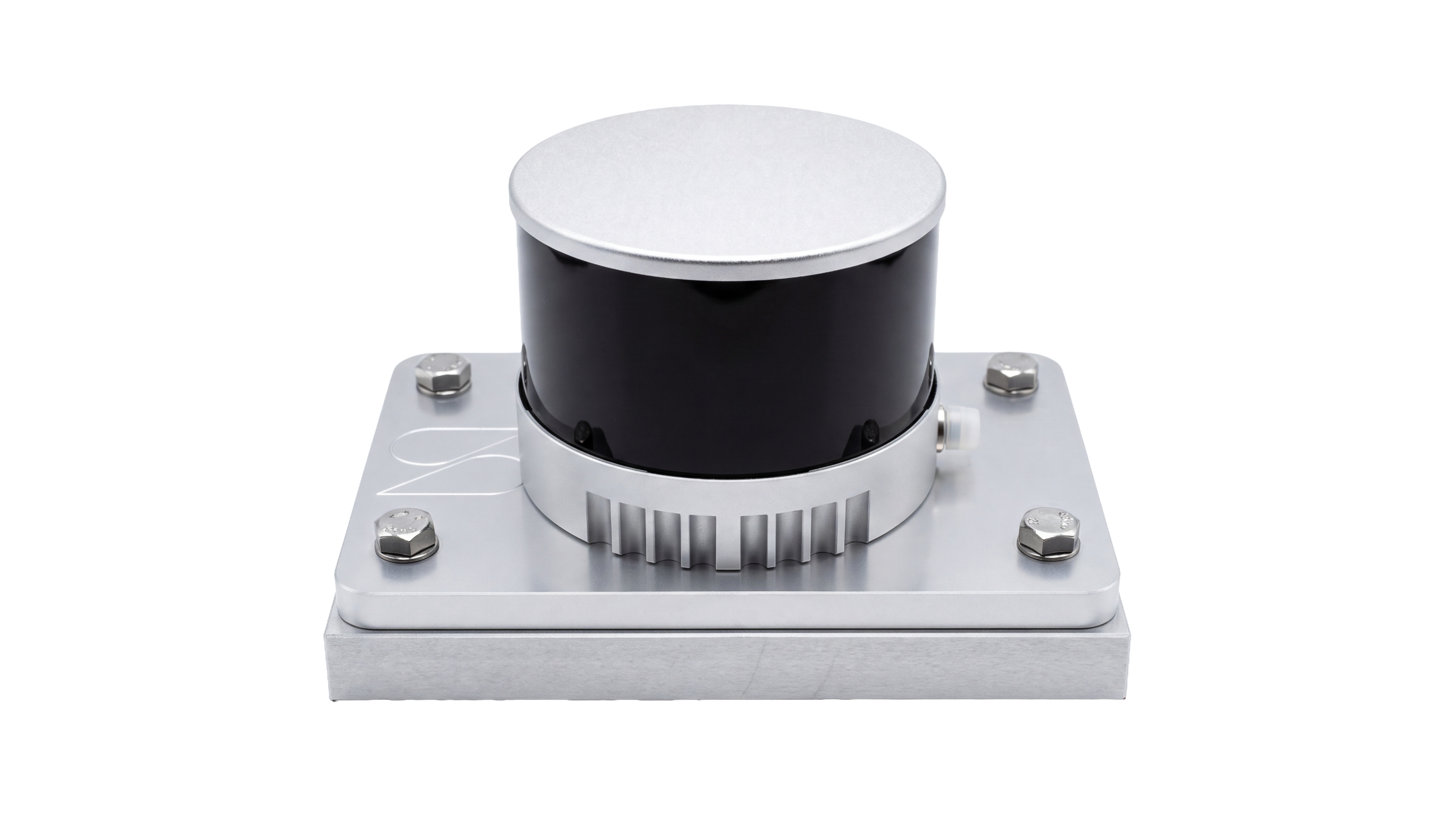
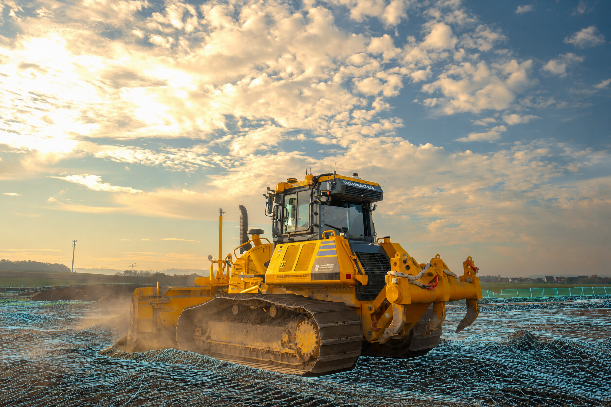
Mounted on top of the cab, SDX-AutoScan’s 360° LiDAR sensor captures terrain using positioning from the dozer’s integrated Trimble Earthworks machine-control system. Once configured, scanning starts automatically during operation within the project area. The operator grades as usual while the system documents changing surfaces and completed work, without managing scans, data transfers, or separate surveying passes.
Captured data uploads automatically to SDX-Cloud as often as every 10 minutes. Teams can access updated 3D terrain models from any device, take measurements, calculate volumes, and compare actual terrain against the design for cut-and-fill analysis. Selected snapshots and models can also sync automatically to Trimble Connect after a one-time project connection and configuration, reducing manual exports and imports.
Trimble®, Trimble Earthworks®, and Trimble Connect® are trademarks or registered trademarks of Trimble Inc.